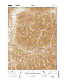
2016 Map of Wiseman B-3 SE
USGS Topo · Published 2016About this map
Gates of the Arctic National Park defines the southern reach of this topographic landscape, where the wilderness transitions into the Brooks Range foothills. The high-altitude terrain is marked by significant peaks such as Ipnek Mtn, which dominates the eastern portion of the quadrangle. Drainage patterns are characterized by several seasonal and permanent watercourses, including the headwaters of Michigan Cr and Fall Cr, which carve through the steep contour lines of the northern interior. Another smaller tributary, E Cr, flows through the northern sections, illustrating the complex hydrological network typical of this subarctic region. This 2016 survey documents a largely roadless area where the natural geography remains the primary feature, providing a clear view of the untouched topography before it descends towards the Koyukuk River valley.
Find a feature on this map
9 named features on this map. Tap any name to fly to it.
Don’t see what you’re looking for? This feature index may not catch every label — zoom into the map to look around manually.
Map Details
Editions of this 2016 Wiseman B-3 SE Map
This is the sole edition of this map. No revisions or reprints were ever made.
Other maps of this area

1951 · Wiseman
USGS Topo · 1:250,000

1956 · Wiseman
USGS Topo · 1:250,000

1964 · Wiseman
USGS Topo · 1:250,000

1970 · Wiseman A-3
USGS Topo · 1:63,360

1970 · Wiseman A-2
USGS Topo · 1:63,360
1971 · Wiseman B-3
USGS Topo · 1:63,360
1971 · Wiseman B-2
USGS Topo · 1:63,360
2016 · Wiseman A-3 NW
USGS Topo · 1:25,000
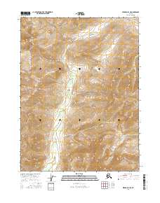
2016 · Wiseman B-3 NE
USGS Topo · 1:25,000
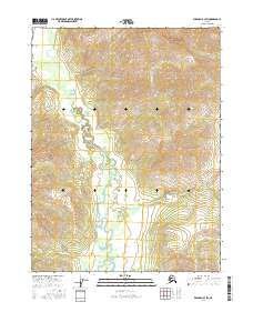
2016 · Wiseman B-3 SW
USGS Topo · 1:25,000