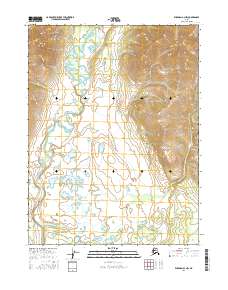
2016 Map of Wiseman A-3 NW
USGS Topo · Published 2016About this map
Wild River snakes through this high-latitude landscape, defined by a broad valley floor dotted with numerous small lakes and wetlands. In the northwestern corner, the terrain rises sharply toward Gilroy Mtn, where the headwaters of Gilroy Cr begin their descent. To the south, the topographic relief shifts into the low-lying expanse of Death Valley, a name that suggests the stark environmental challenges of this interior region. The drainage patterns are dominated by the meandering river and the eastward-flowing Chicken Cr, illustrating a complex hydrologic network common in this part of Alaska. This 2016 survey documents the untouched character of the wilderness, where no permanent settlements or roads appear, leaving the land's natural contours and water bodies as the primary landmarks.
Find a feature on this map
9 named features on this map. Tap any name to fly to it.
Don’t see what you’re looking for? This feature index may not catch every label — zoom into the map to look around manually.
Map Details
Editions of this 2016 Wiseman A-3 NW Map
This is the sole edition of this map. No revisions or reprints were ever made.
Other maps of this area

1951 · Wiseman
USGS Topo · 1:250,000

1956 · Wiseman
USGS Topo · 1:250,000

1964 · Wiseman
USGS Topo · 1:250,000

1970 · Wiseman A-4
USGS Topo · 1:63,360

1970 · Wiseman A-3
USGS Topo · 1:63,360
1971 · Wiseman B-3
USGS Topo · 1:63,360
1971 · Wiseman B-4
USGS Topo · 1:63,360
2016 · Wiseman B-4 SE
USGS Topo · 1:25,000
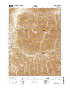
2016 · Wiseman B-3 SE
USGS Topo · 1:25,000
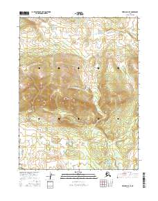
2016 · Wiseman A-4 SE
USGS Topo · 1:25,000