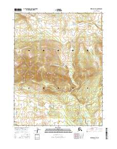
2016 Map of Wiseman A-4 SE
USGS Topo · Published 2016About this map
Ninemile Hills dominate the central topography of this interior Alaskan landscape, providing a high-ground anchor between shifting watercourses. To the north, the drainage of Death Valley Creek cuts across the survey, while the southern portion of the map is defined by the winding path of Ninemile Creek and the quiet waters of Ninemile Lake. The area reflects a classic wilderness hydrography, where the southern reaches transition into the lower elevations of Goose Slough. This 2016 survey documents the untouched terrain of the Yukon-Koyukuk region, capturing the relationship between high ridges and the low-lying wetlands that characterize the drainage basins of the far north.
Find a feature on this map
11 named features on this map. Tap any name to fly to it.
Don’t see what you’re looking for? This feature index may not catch every label — zoom into the map to look around manually.
Map Details
Editions of this 2016 Wiseman A-4 SE Map
This is the sole edition of this map. No revisions or reprints were ever made.
Other maps of this area

1951 · Bettles
USGS Topo · 1:250,000

1951 · Wiseman
USGS Topo · 1:250,000

1956 · Bettles
USGS Topo · 1:250,000

1956 · Wiseman
USGS Topo · 1:250,000

1964 · Wiseman
USGS Topo · 1:250,000

1970 · Bettles D-4
USGS Topo · 1:63,360

1970 · Wiseman A-4
USGS Topo · 1:63,360

1970 · Wiseman A-3
USGS Topo · 1:63,360

1970 · Bettles D-3
USGS Topo · 1:63,360
2016 · Wiseman A-3 NW
USGS Topo · 1:25,000