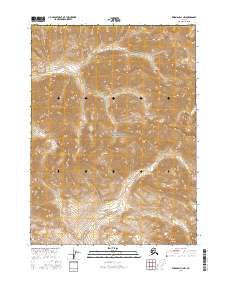
2016 Map of Wiseman D-4 NW
USGS Topo · Published 2016About this map
Gates of the Arctic National Park dominates this 2016 survey of the high Brooks Range, capturing a wilderness landscape defined by the towering Endicott Mountains. The topography is marked by significant elevation changes, with drainage systems like Till Cr in the north and Savuotuk Cr in the southeast carving through the alpine terrain. Located within the Yukon-Koyukuk Census Area, the map depicts a region devoid of permanent settlements or road infrastructure, focusing instead on the complex natural contouring of the arctic divide. This U.S. Geological Survey record serves as a precise digital-era baseline for the remote interior, where township and range lines like t36n r19w provide the only formal grid over the protected federal lands.
Find a feature on this map
11 named features on this map. Tap any name to fly to it.
Don’t see what you’re looking for? This feature index may not catch every label — zoom into the map to look around manually.
Map Details
Editions of this 2016 Wiseman D-4 NW Map
This is the sole edition of this map. No revisions or reprints were ever made.
Other maps of this area

1951 · Chandler Lake
USGS Topo · 1:250,000

1951 · Wiseman
USGS Topo · 1:250,000

1956 · Wiseman
USGS Topo · 1:250,000

1956 · Chandler Lake
USGS Topo · 1:250,000

1964 · Wiseman
USGS Topo · 1:250,000

1964 · Chandler Lake
USGS Topo · 1:250,000

1971 · Chandler Lake A-3
USGS Topo · 1:63,360
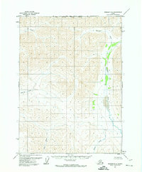
1971 · Wiseman D-4
USGS Topo · 1:63,360
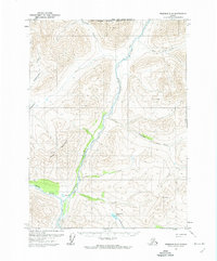
1971 · Wiseman D-5
USGS Topo · 1:63,360
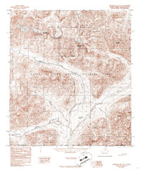
1986 · Chandler Lake A-4
USGS Topo · 1:63,360