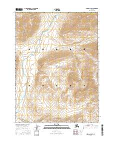
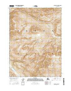
2016 Map of Wiseman D-5 NE
USGS Topo · Published 2016About this map
John River snakes through a high-altitude landscape defined by the expansive Gates of the Arctic National Park. This portion of the central Brooks Range exhibits a drainage system where smaller tributaries like Till Cr and Yentituk Cr flow into the primary river valley. The map focuses on a strictly wilderness environment within the Yukon-Koyukuk Census Area, where no permanent human settlements or roads are indicated. Instead, the area is characterized by its hydrological network, including Publituk Cr in the southern reaches, and significant elevation changes. The land is divided into township and range sections such as t36n r20w, providing a structural reference for this protected subarctic interior.
Find a feature on this map
12 named features on this map. Tap any name to fly to it.
Don’t see what you’re looking for? This feature index may not catch every label — zoom into the map to look around manually.
Map Details
Editions of this 2016 Wiseman D-5 NE Map
This is the sole edition of this map. No revisions or reprints were ever made.
Other maps of this area

1951 · Chandler Lake
USGS Topo · 1:250,000

1951 · Wiseman
USGS Topo · 1:250,000

1956 · Wiseman
USGS Topo · 1:250,000

1956 · Chandler Lake
USGS Topo · 1:250,000

1964 · Wiseman
USGS Topo · 1:250,000

1964 · Chandler Lake
USGS Topo · 1:250,000
1971 · Wiseman D-4
USGS Topo · 1:63,360
1971 · Wiseman D-5
USGS Topo · 1:63,360
1986 · Chandler Lake A-4
USGS Topo · 1:63,360
2016 · Wiseman D-5 SE
USGS Topo · 1:25,000