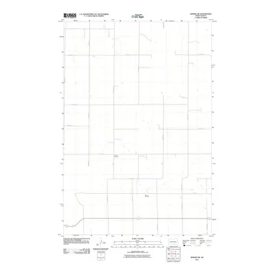
2011 Map of Wishek SW
USGS Topo · Published 2011About this map
Salems Cemetery and Worms Cemetery anchor this rural section of Logan County, North Dakota, reflecting the early 21st-century landscape of the High Plains. The area is defined by its rigorous sectional survey grid, where roads like 33rd Ave SE and 75th St SE cut through a terrain dotted with small seasonal sloughs and wetlands typical of the Missouri Coteau region. This map shows the persistence of small family and community burial grounds amidst a vast agricultural network of gravel roads. The sparse distribution of named features highlights the quiet, open character of Red Lake Township, where the primary human footprint is found in the precise intersection of numbered avenues and streets that facilitate the local farming economy.
Find a feature on this map
15 named features on this map. Tap any name to fly to it.
Don’t see what you’re looking for? This feature index may not catch every label — zoom into the map to look around manually.
Map Details
Editions of this 2011 Wishek SW Map
This is the sole edition of this map. No revisions or reprints were ever made.
Other maps of this area

1953 · Jamestown
USGS Topo · 1:250,000

1956 · Jamestown
USGS Topo · 1:250,000

1979 · Schell Buttes
USGS Topo · 1:24,000

1979 · McKenna Lake South
USGS Topo · 1:24,000

1982 · Wishek SW
USGS Topo · 1:24,000

1982 · Wishek NE
USGS Topo · 1:24,000

1982 · May Lake NW
USGS Topo · 1:24,000

1982 · Burnstad
USGS Topo · 1:24,000

1982 · May Lake
USGS Topo · 1:24,000

1982 · Wishek
USGS Topo · 1:24,000