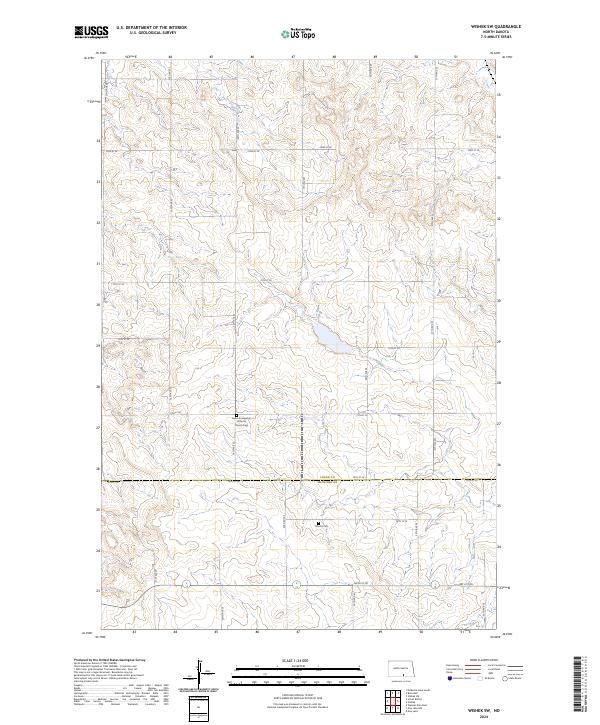
2024 Map of Wishek SW
USGS Topo · Published 2024About this map
The rolling prairie of the North Dakota interior, where the Logan Co McIntosh Co border bisects the landscape, is defined by its deep commitment to early immigrant heritage. This high-plains region is anchored by two significant genealogical landmarks: the Salem Evangelical Lutheran Church Cem in the north and Worms Cem further south. The land is organized by a meticulous grid of rural roads, including 33rd Ave SE and 78th St SE, which trace the township and range boundaries of this agricultural corridor. This map documents a quiet, enduring landscape of family farms and small rural congregations, illustrating the persistent settlement patterns of the upper Midwest in the early twenty-first century.
Find a feature on this map
25 named features on this map. Tap any name to fly to it.
Don’t see what you’re looking for? This feature index may not catch every label — zoom into the map to look around manually.
Map Details
Editions of this 2024 Wishek SW Map
This is the sole edition of this map. No revisions or reprints were ever made.
Other maps of this area

1953 · Jamestown
USGS Topo · 1:250,000

1956 · Jamestown
USGS Topo · 1:250,000

1979 · Schell Buttes
USGS Topo · 1:24,000

1979 · McKenna Lake South
USGS Topo · 1:24,000

1982 · Wishek SW
USGS Topo · 1:24,000

1982 · Wishek NE
USGS Topo · 1:24,000

1982 · May Lake NW
USGS Topo · 1:24,000

1982 · Burnstad
USGS Topo · 1:24,000

1982 · May Lake
USGS Topo · 1:24,000

1982 · Wishek
USGS Topo · 1:24,000