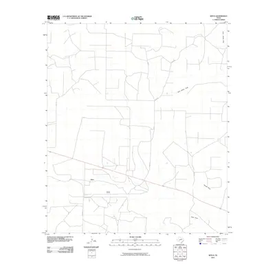
2010 Map of Witco
USGS Topo · Published 2010About this map
Barnhart Oil Field defines the industrial footprint of this West Texas landscape, showing the intensive network of access roads and infrastructure required for regional energy production. The settlement of Witco sits near the center of this grid, surrounded by a terrain defined by intermittent drainage features that have shaped the local topography. Dry watercourses such as Rock Hollow Draw, Woods Draw, and Tepee Draw meander across the plains, indicating the natural flow of water in an otherwise arid environment. The map details a strictly organized system of rural routes, including Ball Rd, Ferguson Ln, and Tucker Rd, which provide access to the various wells and ranching interests throughout the quadrangle. This 2010 survey serves as a record of the specialized land use in Reagan County, where the petroleum industry and geographic drainage patterns dictate the placement of every road and structure.
Find a feature on this map
11 named features on this map. Tap any name to fly to it.
Don’t see what you’re looking for? This feature index may not catch every label — zoom into the map to look around manually.
Map Details
Editions of this 2010 Witco Map
This is the sole edition of this map. No revisions or reprints were ever made.
Other maps of this area

1920 · Big Lake
USGS Topo · 1:62,500

1920 · Barnhart
USGS Topo · 1:62,500

1921 · Ketchum Mountain
USGS Topo · 1:62,500

1922 · Big Lake
USGS Topo · 1:62,500

1922 · Barnhart
USGS Topo · 1:62,500

1923 · Ketchum Mountain
USGS Topo · 1:62,500

1954 · San Angelo
USGS Topo · 1:250,000

1958 · San Angelo
USGS Topo · 1:250,000

1965 · San Angelo
USGS Topo · 1:250,000

1970 · South Mustang Draw SE
USGS Topo · 1:24,000