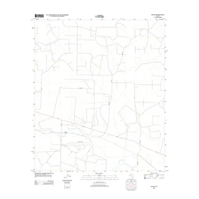
2012 Map of Witco
USGS Topo · Published 2012About this map
Witco anchors this Reagan County landscape, defined by the industrial infrastructure of the West Texas Permian Basin. This early 21st-century survey reveals a highly organized network of service roads and petroleum extraction sites, most notably the Barnhart Oil Field which occupies the southern portion of the quadrangle. The map reflects a landscape transformed by the energy economy, where local thoroughfares like Hickman Rd, Owens Rd, and Elkins Rd provide essential access across the semi-arid terrain. Unlike the dense urban grids of East Texas, the settlement pattern here is sparse and utilitarian, centered around the Witco locale and its proximity to major transportation routes like Co Rd 147. The interplay between the natural drainage patterns and the artificial geometry of the oil fields illustrates the intensive land use required for large-scale resource extraction.
Find a feature on this map
10 named features on this map. Tap any name to fly to it.
Don’t see what you’re looking for? This feature index may not catch every label — zoom into the map to look around manually.
Map Details
Editions of this 2012 Witco Map
This is the sole edition of this map. No revisions or reprints were ever made.
Other maps of this area

1920 · Big Lake
USGS Topo · 1:62,500

1920 · Barnhart
USGS Topo · 1:62,500

1921 · Ketchum Mountain
USGS Topo · 1:62,500

1922 · Big Lake
USGS Topo · 1:62,500

1922 · Barnhart
USGS Topo · 1:62,500

1923 · Ketchum Mountain
USGS Topo · 1:62,500

1954 · San Angelo
USGS Topo · 1:250,000

1958 · San Angelo
USGS Topo · 1:250,000

1965 · San Angelo
USGS Topo · 1:250,000

1970 · South Mustang Draw SE
USGS Topo · 1:24,000