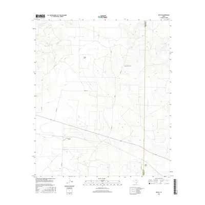
2016 Map of Witco
USGS Topo · Published 2016About this map
Witco is a focal point of industrial activity within Reagan County on this mid-2010s survey, characterized by the presence of a facility adjacent to Gas Plant Rd. The surrounding landscape is defined by a network of drainage features including Woods Draw, Rock Hollow Draw, and Tepee Draw, which shape the topography of the High Plains. Transport infrastructure is concentrated along specific routes like Ball Rd, Hickman Rd, and Ferguson Ln, reflecting the area's service to energy production and ranching operations. The map clearly delineates the border between Reagan and Irion counties, running vertically along the eastern edge of the quadrangle near Elkins Rd. This document serves as a precise record of the road networks and water drainage patterns essential for navigating this West Texas terrain.
Find a feature on this map
17 named features on this map. Tap any name to fly to it.
Don’t see what you’re looking for? This feature index may not catch every label — zoom into the map to look around manually.
Map Details
Editions of this 2016 Witco Map
This is the sole edition of this map. No revisions or reprints were ever made.
Other maps of this area

1920 · Big Lake
USGS Topo · 1:62,500

1920 · Barnhart
USGS Topo · 1:62,500

1921 · Ketchum Mountain
USGS Topo · 1:62,500

1922 · Big Lake
USGS Topo · 1:62,500

1922 · Barnhart
USGS Topo · 1:62,500

1923 · Ketchum Mountain
USGS Topo · 1:62,500

1954 · San Angelo
USGS Topo · 1:250,000

1958 · San Angelo
USGS Topo · 1:250,000

1965 · San Angelo
USGS Topo · 1:250,000

1970 · South Mustang Draw SE
USGS Topo · 1:24,000