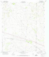
1971 Map of Witco
USGS Topo · Published 1973About this map
Witco occupies a pivotal location in the high plains of West Texas, where the industrial infrastructure of the 1970s energy sector meets a landscape defined by seasonal drainage patterns. This area is heavily developed for resource extraction, dominated by an extensive Oil Field and numerous Oil Wells scattered across the terrain. The presence of a Radio Tower and a Gravel Pit further emphasizes the mechanical character of the region during this period of expansion.
Find a feature on this map
10 named features on this map. Tap any name to fly to it.
Don’t see what you’re looking for? This feature index may not catch every label — zoom into the map to look around manually.
Map Details
Editions of this 1971 Witco Map
This is the sole edition of this map. No revisions or reprints were ever made.
Other maps of this area

1920 · Big Lake
USGS Topo · 1:62,500

1920 · Barnhart
USGS Topo · 1:62,500

1921 · Ketchum Mountain
USGS Topo · 1:62,500

1922 · Big Lake
USGS Topo · 1:62,500

1922 · Barnhart
USGS Topo · 1:62,500

1923 · Ketchum Mountain
USGS Topo · 1:62,500

1954 · San Angelo
USGS Topo · 1:250,000

1958 · San Angelo
USGS Topo · 1:250,000

1965 · San Angelo
USGS Topo · 1:250,000

1970 · South Mustang Draw SE
USGS Topo · 1:24,000