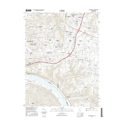
2016 Map of Withamsville
USGS Topo · Published 2016About this map
The Ohio River forms the southern boundary of this 2016 survey, where the rugged terrain of southwestern Ohio meets the historic river valley. Suburban expansion around Cincinnati is evident through dozens of named residential developments, including Turpin Hills, Dry Run, and Sherwood Village. These modern neighborhoods are interspersed with older landmarks like Newton Cem and Asbury Cem, which mark the earlier agricultural roots of Hamilton and Clermont counties.
Find a feature on this map
79 named features on this map. Tap any name to fly to it.
Don’t see what you’re looking for? This feature index may not catch every label — zoom into the map to look around manually.
Map Details
Editions of this 2016 Withamsville Map
This is the sole edition of this map. No revisions or reprints were ever made.
Other maps of this area

1898 · East Cincinnati
USGS Topo · 1:62,500

1914 · East Cincinnati
USGS Topo · 1:62,500

1914 · Batavia
USGS Topo · 1:48,000

1916 · Batavia
USGS Topo · 1:62,500

1929 · Alexandria
USGS Topo · 1:48,000

1931 · Felicity
USGS Topo · 1:62,500

1936 · Alexandria
USGS Topo · 1:62,500

1952 · Newport
USGS Topo · 1:24,000

1953 · Laurel
USGS Topo · 1:24,000

1953 · Withamsville
USGS Topo · 1:24,000