
1955 Map of Withlacoochee Bay
USGS Topo · Published 1956About this map
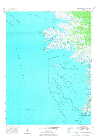
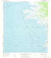
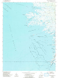
Withlacoochee Bay and the northern reaches of the Gulf coast define this mid-1950s survey of the Levy Co and Citrus Co boundary. The landscape is a complex labyrinth of salt marshes and tidal creeks, where the Withlacoochee R meets the Gulf through East Pass and Bungalow Pass. Small-scale maritime activity and seasonal camps are evident at Port Inglis, Pitts Camp, and TFD Camp. The mapping reveals a shoreline heavily influenced by oyster bars and shoals, notably the Waccasassa Reefs and the sprawling Withlacoochee Reefs. Notable landmarks like Deadman Key and Chambers Island provide reference points in a region dominated by water and sawgrass, where the Yankeetown Town Boundary extends into the marshlands.
Find a feature on this map
46 named features on this map. Tap any name to fly to it.
Don’t see what you’re looking for? This feature index may not catch every label — zoom into the map to look around manually.
Map Details
Editions of this 1955 Withlacoochee Bay Map
4 editions found
Other maps of this area

1954 · Red Level
USGS Topo · 1:24,000

1954 · Gainesville
USGS Topo · 1:250,000

1955 · Lebanon Station
USGS Topo · 1:24,000

1955 · Waccasassa Bay
USGS Topo · 1:24,000

1955 · Yankeetown
USGS Topo · 1:24,000

1955 · Sumner
USGS Topo · 1:24,000

1955 · Plant City
USGS Topo · 1:250,000

1958 · Plant City
USGS Topo · 1:250,000

1958 · Gainesville
USGS Topo · 1:250,000

1959 · Plant City
USGS Topo · 1:250,000