
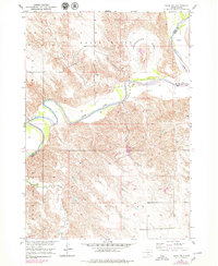
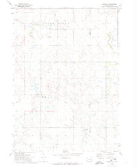
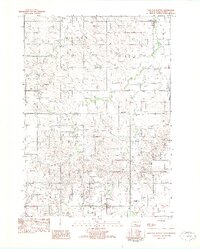
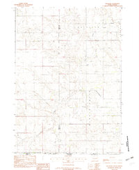
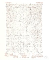
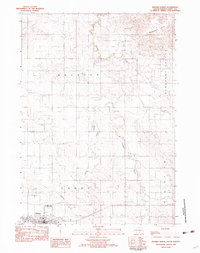
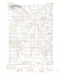
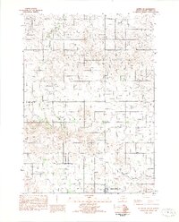
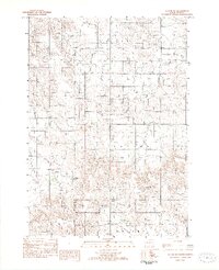
2021 Map of Witten
USGS Topo · Published 2021About this map
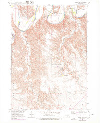
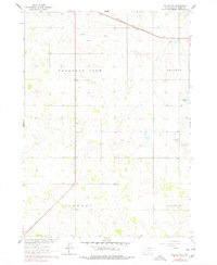
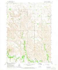
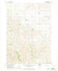
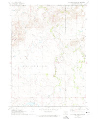
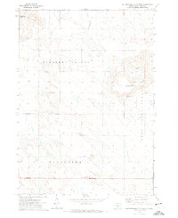
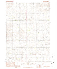
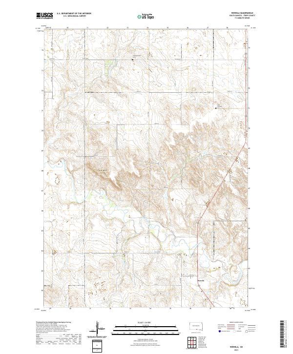
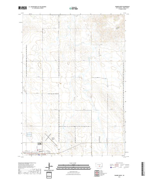
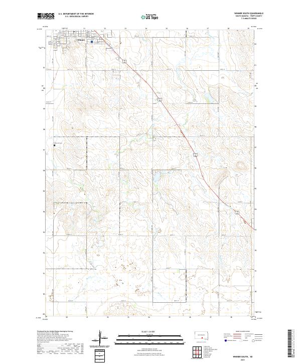
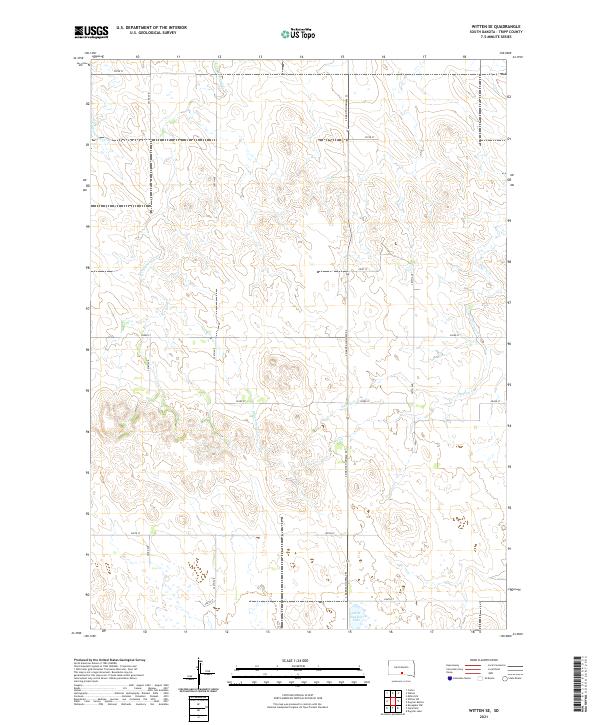
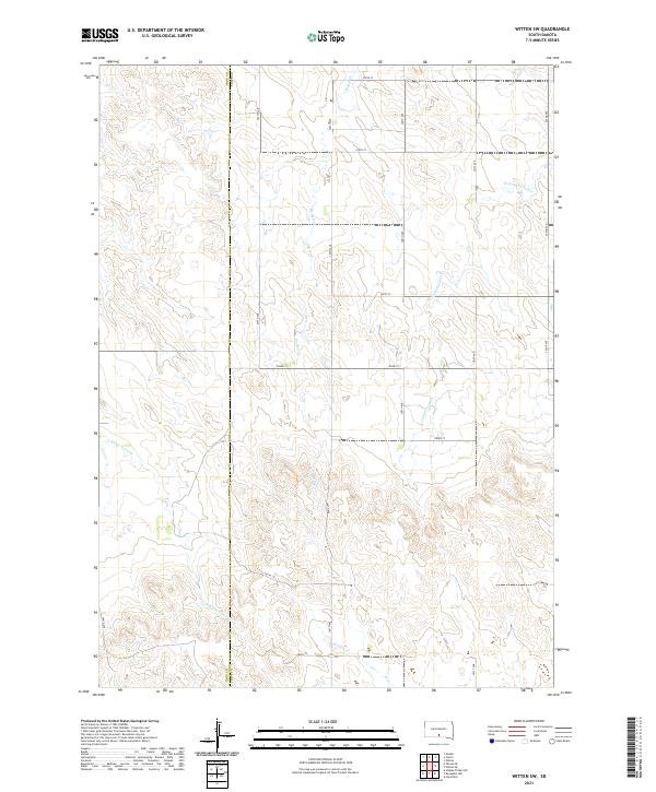
Witten and the adjacent New Witten anchor this landscape in Tripp County, where the plains are defined by the winding course of Cottonwood Cr and its tributaries. The settlement pattern follows a rigorous grid of section lines, with S Dakota Highway 44 and S Dakota Highway 53 serving as the primary corridors for travel and transport. Local history is centered around the Saint John the Baptist Cem and the small town centers, which are situated near the Witten Dam Reservoir. The geography reveals a ranching and farming community dependent on the drainages of W Cottonwood Cr and E Cottonwood Cr, which carve through the terrain as it rises toward the southern hills. Jordan Junction marks a key navigational point at the southern edge of the survey, reflecting the essential role of road intersections in this sparsely populated region of South Dakota.
Find a feature on this map
32 named features on this map. Tap any name to fly to it.
Don’t see what you’re looking for? This feature index may not catch every label — zoom into the map to look around manually.
Map Details
Editions of this 2021 Witten Map
This is the sole edition of this map. No revisions or reprints were ever made.
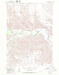
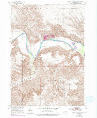
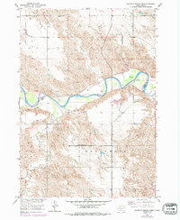
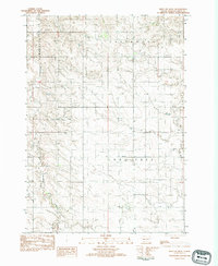
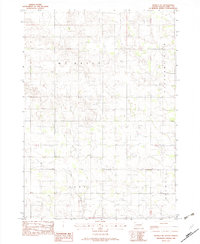
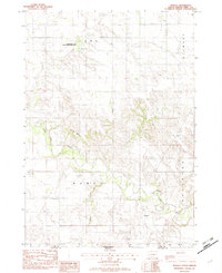
Historical Maps of Jordan Junction Through Time
60 maps found
1951 Ideal NE
Tripp County, SD
1951 Ideal NW
Tripp County, SD
1951 Mouth of Little Dog Creek
Tripp County, SD
1951 Mouth of Mission Creek
Tripp County, SD
1952 Hamill NW
Tripp County, SD
1964 Dallas NW
Tripp County, SD
1964 Dallas SW
Tripp County, SD
1964 Paxton
Tripp County, SD
1971 Colome SE
Tripp County, SD
1971 Rattlesnake Butte East
Tripp County, SD
1971 Rattlesnake Butte West
Tripp County, SD

1982 Carter
Tripp County, SD
1982 Clearfield
Tripp County, SD
1982 Dog Ear Buttes
Tripp County, SD
1982 Dog Ear Lake
Tripp County, SD
1982 Keyapaha NW
Tripp County, SD
1982 Keyapaha SE
Tripp County, SD
1982 Keyapaha
Tripp County, SD
1982 King Dam
Tripp County, SD
1982 Millboro
Tripp County, SD
1982 Miller Hill
Tripp County, SD
1982 Two Nation Creek
Tripp County, SD
1982 West Of Ideal
Tripp County, SD
1982 Wewela NE
Tripp County, SD
1982 Wewela
Tripp County, SD
1982 Winner North
Tripp County, SD
1982 Winner South
Tripp County, SD
1982 Witten SE
Tripp County, SD
1982 Witten SW
Tripp County, SD

1982 Witten
Tripp County, SD
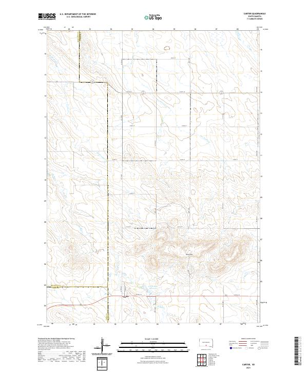
2021 Carter
Tripp County, SD
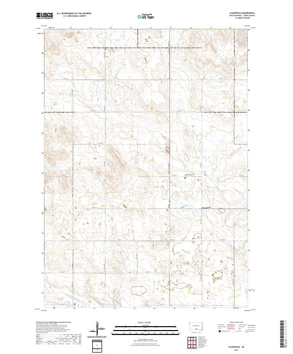
2021 Clearfield
Tripp County, SD
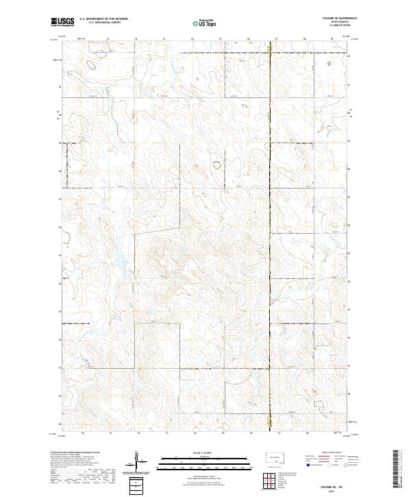
2021 Colome SE
Tripp County, SD
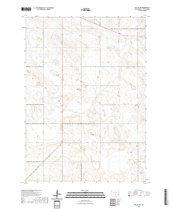
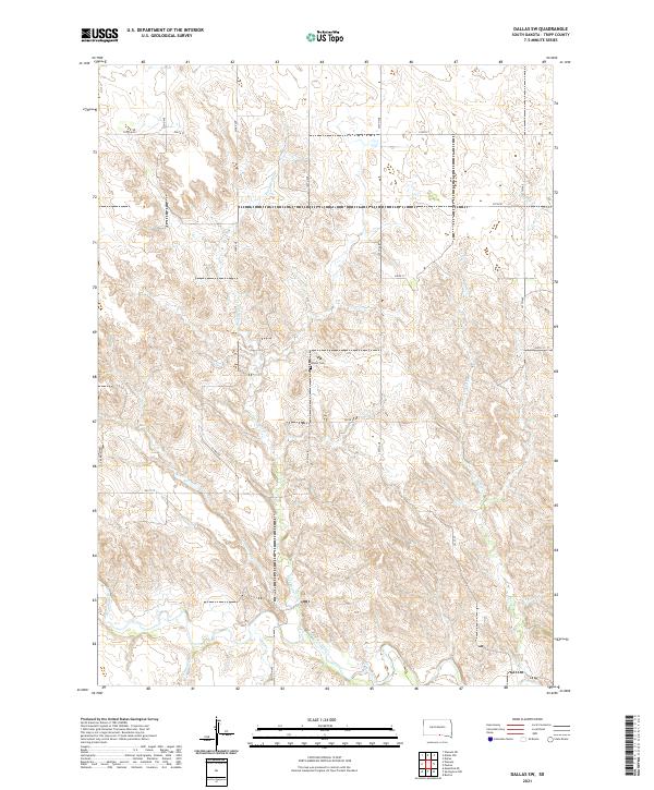
2021 Dallas NW
Tripp County, SD
2021 Dallas SW
Tripp County, SD
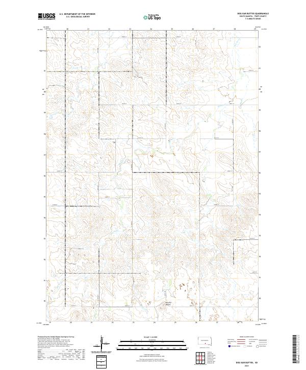
2021 Dog Ear Buttes
Tripp County, SD
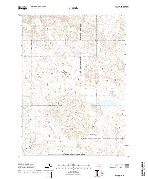
2021 Dog Ear Lake
Tripp County, SD
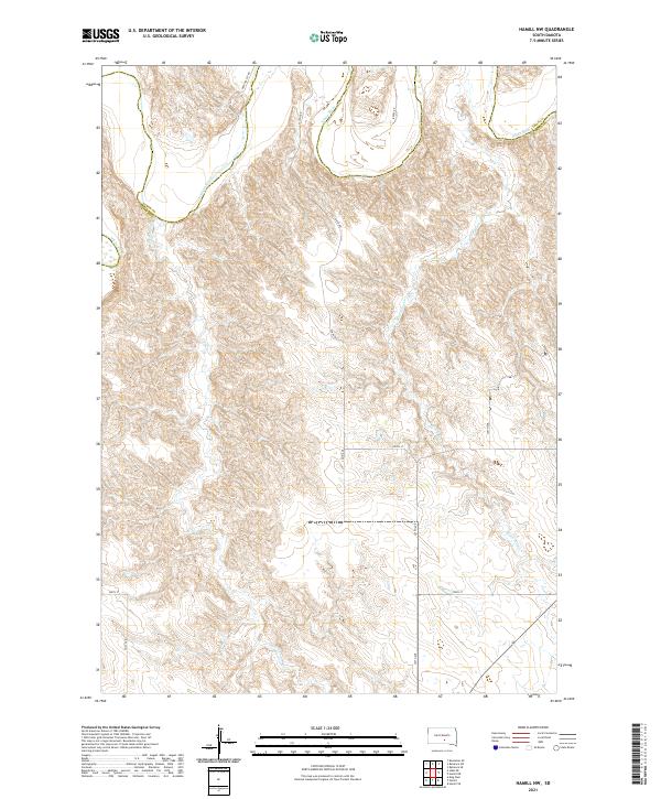
2021 Hamill NW
Tripp County, SD
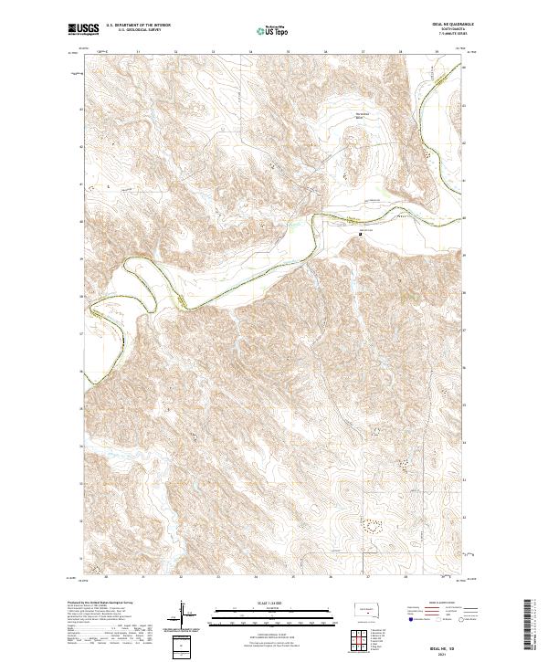
2021 Ideal NE
Tripp County, SD
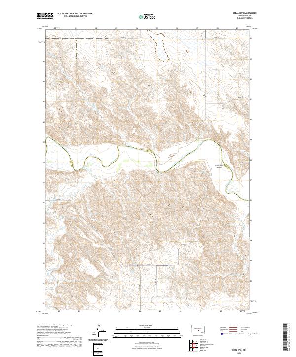
2021 Ideal NW
Tripp County, SD
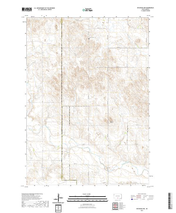
2021 Keyapaha NW
Tripp County, SD
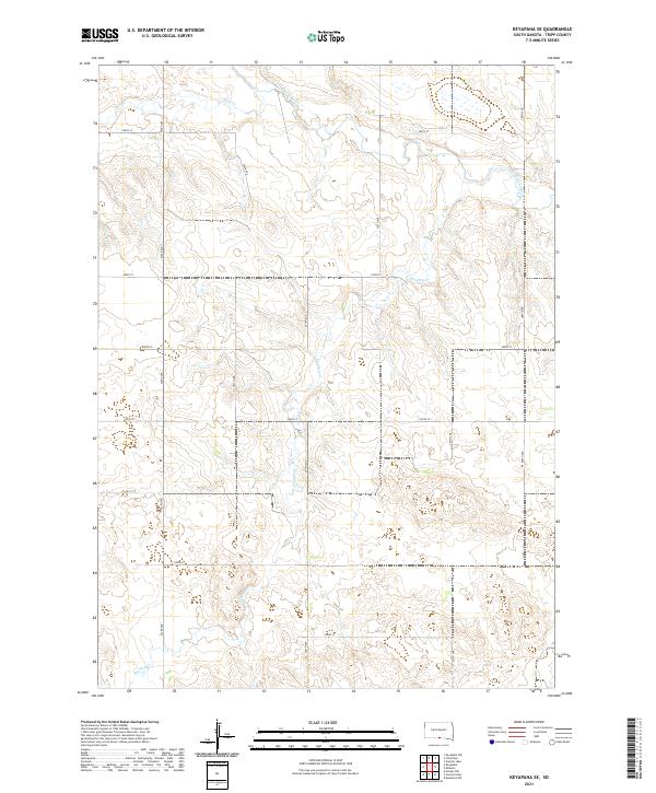
2021 Keyapaha SE
Tripp County, SD
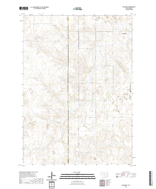
2021 Keyapaha
Tripp County, SD
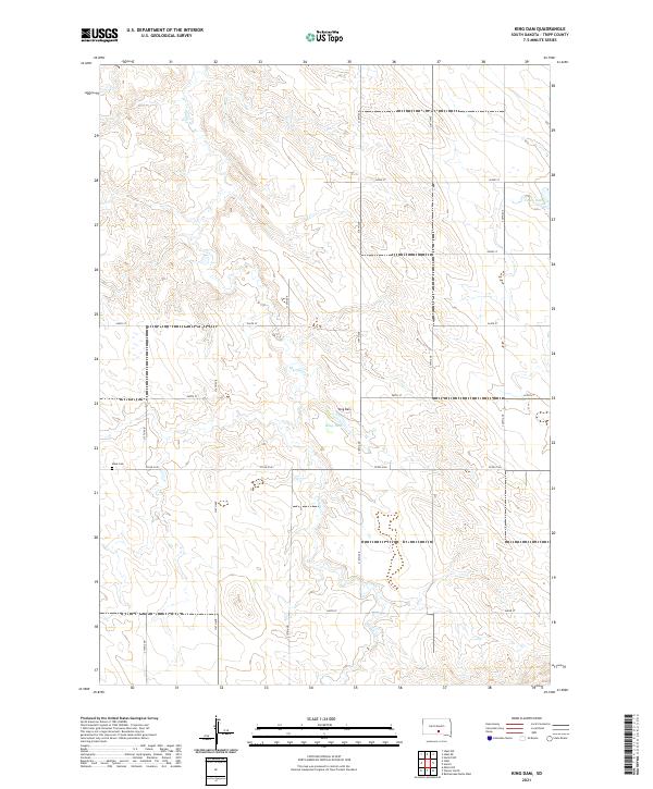
2021 King Dam
Tripp County, SD
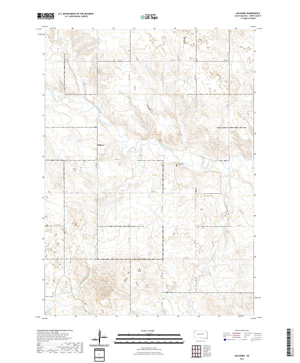
2021 Millboro
Tripp County, SD
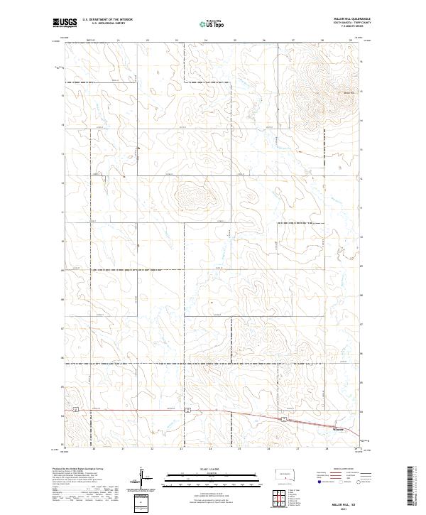
2021 Miller Hill
Tripp County, SD
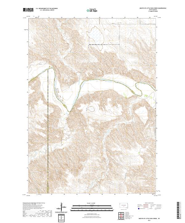
2021 Mouth of Little Dog Creek
Tripp County, SD
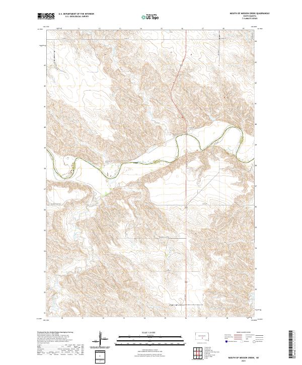
2021 Mouth of Mission Creek
Tripp County, SD
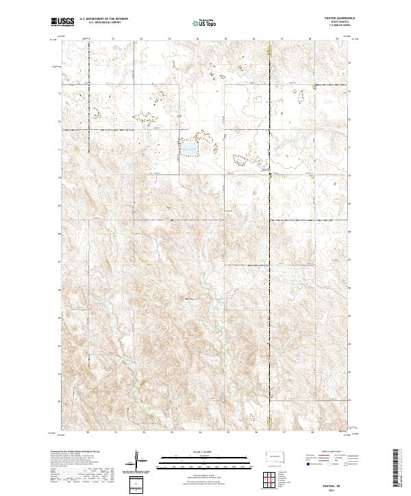
2021 Paxton
Tripp County, SD
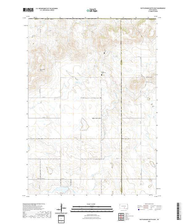
2021 Rattlesnake Butte East
Tripp County, SD
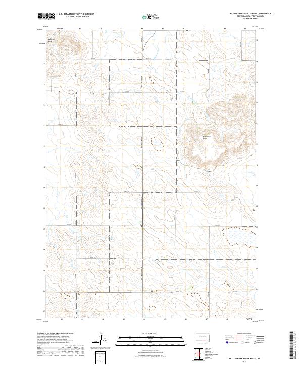
2021 Rattlesnake Butte West
Tripp County, SD
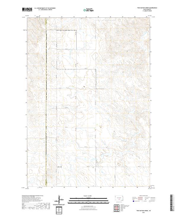
2021 Two Nation Creek
Tripp County, SD
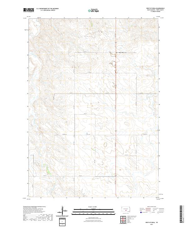
2021 West of Ideal
Tripp County, SD
2021 Wewela NE
Tripp County, SD
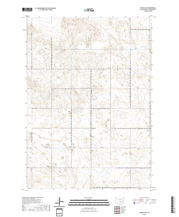
2021 Wewela
Tripp County, SD
2021 Winner North
Tripp County, SD
2021 Winner South
Tripp County, SD
2021 Witten SE
Tripp County, SD
2021 Witten SW
Tripp County, SD
2021 Witten
Tripp County, SD