
1982 Map of Witten
USGS Topo · Published 1982About this map
Witten serves as the central hub of this 1982 survey, situated within a landscape defined by the branching drainage of Cottonwood Creek. The rural character of Tripp County is evident in the layout of sections and the presence of localized infrastructure like the Gravel Pit and the small town Park. For genealogists and local historians, St John the Baptist Cem provides a specific point of interest along the northern stretch of the creek. To the south, Jordan Junction marks a key intersection point where the terrain begins to transition between the townships of Jordan and Banner. The hydrology of the area is well-documented, showing how West Cottonwood Creek and East Cottonwood Creek converge to form the main waterway, influencing the local road network and settlement patterns of this plains community.
Find a feature on this map
13 named features on this map. Tap any name to fly to it.
Don’t see what you’re looking for? This feature index may not catch every label — zoom into the map to look around manually.
Map Details
Editions of this 1982 Witten Map
This is the sole edition of this map. No revisions or reprints were ever made.
Other maps of this area

1955 · Martin
USGS Topo · 1:250,000

1955 · Mitchell
USGS Topo · 1:250,000

1958 · Martin
USGS Topo · 1:250,000

1959 · Mitchell
USGS Topo · 1:250,000

1982 · Presho 4 SE
USGS Topo · 1:25,000

1982 · Witten SE
USGS Topo · 1:25,000

1982 · Two Nation Creek
USGS Topo · 1:25,000
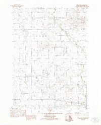
1982 · Miller Hill
USGS Topo · 1:25,000

1982 · Witten SW
USGS Topo · 1:25,000
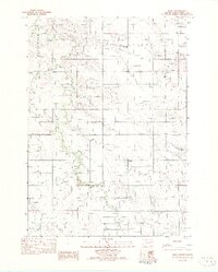
1982 · Ideal
USGS Topo · 1:24,000