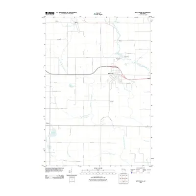
2010 Map of Wittenberg
USGS Topo · Published 2010About this map
The Middle Branch Embarrass River and South Branch Embarrass River converge in this section of Shawano County, defining a landscape shaped by water and early industry. At the heart of the area, Wittenberg serves as a primary hub, featuring the Wittenberg 1885c235 Dam which creates Homme Pond 75. Nearby, the Homme Home for Boys stands as a notable local landmark.
Find a feature on this map
57 named features on this map. Tap any name to fly to it.
Don’t see what you’re looking for? This feature index may not catch every label — zoom into the map to look around manually.
Map Details
Editions of this 2010 Wittenberg Map
This is the sole edition of this map. No revisions or reprints were ever made.
Other maps of this area

1899 · Wausau
USGS Topo · 1:125,000

1902 · Wausau
USGS Topo · 1:125,000

1953 · Hatley
USGS Topo · 1:48,000

1954 · Wittenberg
USGS Topo · 1:48,000

1955 · Tigerton
USGS Topo · 1:48,000

1955 · Rosholt
USGS Topo · 1:48,000

1955 · Green Bay
USGS Topo · 1:250,000

1964 · Wittenberg
USGS Topo · 1:62,500

1964 · Hatley
USGS Topo · 1:62,500

1969 · Rosholt
USGS Topo · 1:24,000