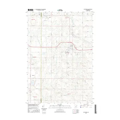
2015 Map of Wittenberg
USGS Topo · Published 2015About this map
Wittenberg serves as the primary hub of this eastern Wisconsin landscape, situated where the Middle Branch Embarrass River and S Br Embarrass River define the local drainage patterns. The map documents the rural character of the border between Marathon Co and Shawano Co, with the village of Eland positioned to the northwest and Elderon to the southwest. This region is characterized by numerous small water bodies and creeks, including Wilson Lake, Lilly Lake, and Homme Pond, which are interconnected by a network of local roads such as W Grand Ave and Eland Rd. For genealogists and local historians, several burial grounds are recorded, including Forest Home Cem, Holy Family Cem, and Bethany Cem. The inclusion of the Norrie Brook Airport near Norrie Brook reflects the local infrastructure supporting this cluster of small communities and the surrounding glacial terrain.
Find a feature on this map
92 named features on this map. Tap any name to fly to it.
Don’t see what you’re looking for? This feature index may not catch every label — zoom into the map to look around manually.
Map Details
Editions of this 2015 Wittenberg Map
This is the sole edition of this map. No revisions or reprints were ever made.
Other maps of this area

1899 · Wausau
USGS Topo · 1:125,000

1902 · Wausau
USGS Topo · 1:125,000

1953 · Hatley
USGS Topo · 1:48,000

1954 · Wittenberg
USGS Topo · 1:48,000

1955 · Tigerton
USGS Topo · 1:48,000

1955 · Rosholt
USGS Topo · 1:48,000

1955 · Green Bay
USGS Topo · 1:250,000

1964 · Wittenberg
USGS Topo · 1:62,500

1964 · Hatley
USGS Topo · 1:62,500

1969 · Rosholt
USGS Topo · 1:24,000