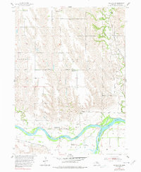
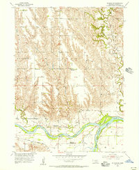
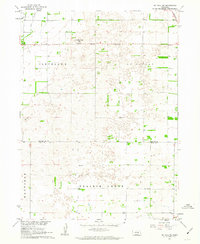
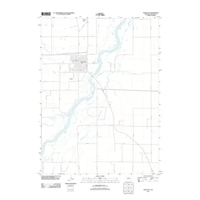
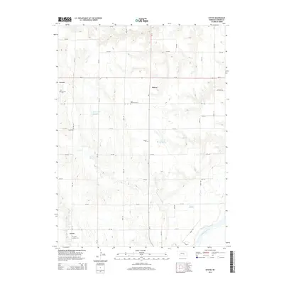
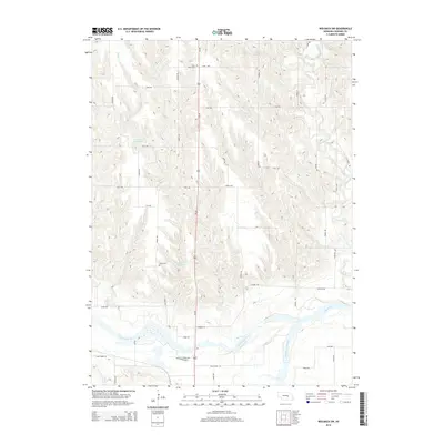
1955 Map of Wolbach SW
USGS Topo · Published 1978About this map
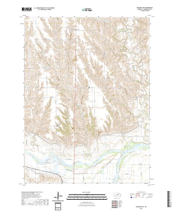
The North Loup River and Middle Loup River converge in the southern reaches of this Howard County landscape, creating a distinct hydrological crossroads just north of St Paul. This mid-century survey reveals a rural society structured around school districts and rural congregations, exemplified by the Fairdale Ch and the presence of numerous schoolhouses. While several facilities like School No 42 (Abandoned) and School No 36 (Abandoned) were already marked as defunct by the time of the field survey, they remain critical markers for genealogical research. Transportation corridors are well-defined by the Union Pacific and the Chicago Burlington and Quincy railroads, which parallel the river valleys. Local history is further preserved through the locations of the St Peter Cem, North Cem, and Logan Cem, each serving the surrounding townships of Fairdale and Logan.
Find a feature on this map
23 named features on this map. Tap any name to fly to it.
Don’t see what you’re looking for? This feature index may not catch every label — zoom into the map to look around manually.
Map Details
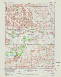
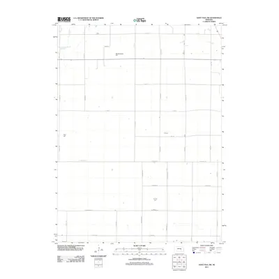
Editions of this 1955 Wolbach SW Map
2 editions found
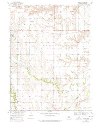
Historical Maps of Howard County Through Time
28 maps found
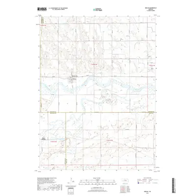
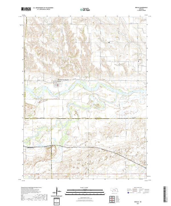
1953 Boelus
Howard County, NE
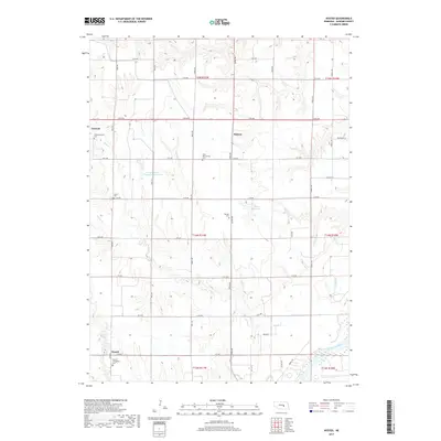
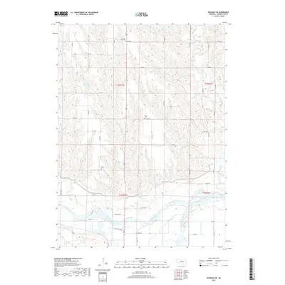
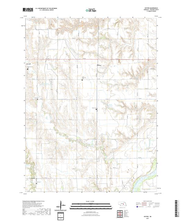
1953 Nysted
Howard County, NE
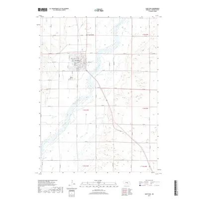
1955 Wolbach SW
Howard County, NE
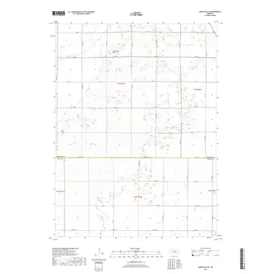
1961 St. Paul SW
Howard County, NE
2011 Boelus
Howard County, NE
2011 Nysted
Howard County, NE
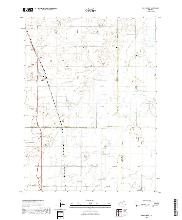
2011 Saint Libory
Howard County, NE
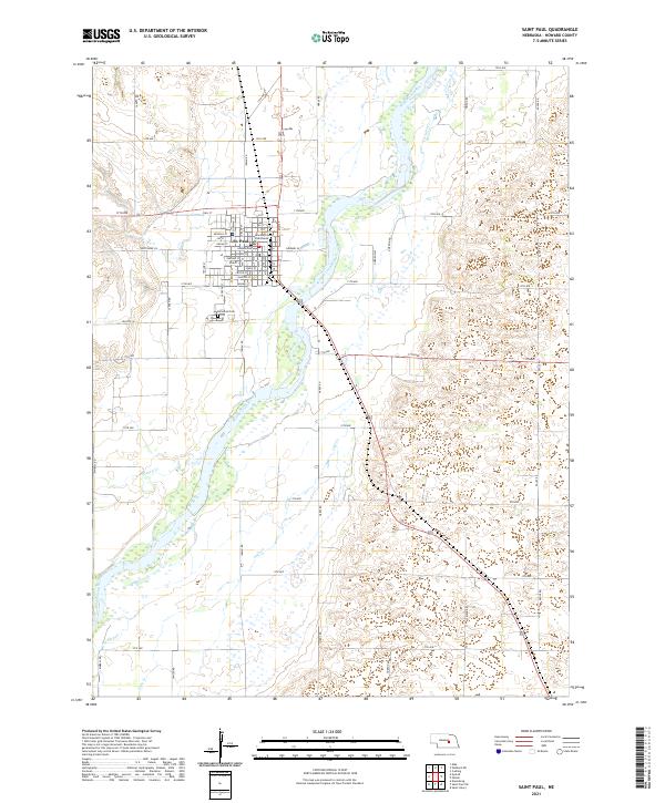
2011 Saint Paul
Howard County, NE
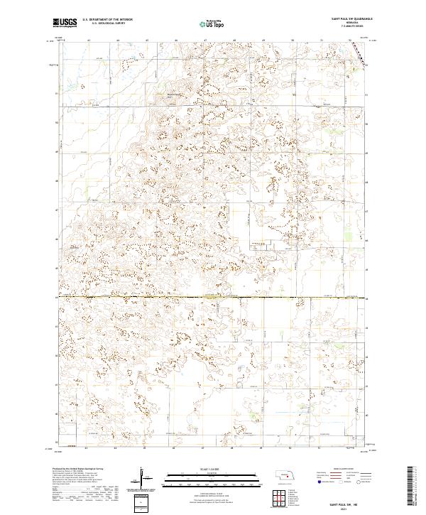
2011 Saint Paul SW
Howard County, NE
2011 Wolbach SW
Howard County, NE
2014 Boelus
Howard County, NE
2014 Nysted
Howard County, NE
2014 Saint Libory
Howard County, NE
2014 Saint Paul
Howard County, NE
2014 Saint Paul SW
Howard County, NE
2014 Wolbach SW
Howard County, NE
2017 Boelus
Howard County, NE
2017 Nysted
Howard County, NE
2017 Saint Libory
Howard County, NE
2017 Saint Paul
Howard County, NE
2017 Saint Paul SW
Howard County, NE
2017 Wolbach SW
Howard County, NE
2021 Boelus
Howard County, NE
2021 Nysted
Howard County, NE
2021 Saint Libory
Howard County, NE
2021 Saint Paul
Howard County, NE
2021 Saint Paul SW
Howard County, NE
2021 Wolbach SW
Howard County, NE