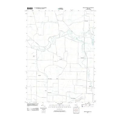
2010 Map of Wolcottsville
USGS Topo · Published 2010About this map
Tonawanda Creek meanders across this rural landscape, carving a complex path through the lowlands between Wolcottsville and Akron. The area is characterized by a network of small, established hamlets and agricultural crossroads including Swifts Mills, Sand Hill, and Hunts Corners. In the southern portion of the sheet, the industrial and transport history of the region is evident near Akron Junction and the outskirts of East Clarence.
Find a feature on this map
70 named features on this map. Tap any name to fly to it.
Don’t see what you’re looking for? This feature index may not catch every label — zoom into the map to look around manually.
Map Details
Editions of this 2010 Wolcottsville Map
This is the sole edition of this map. No revisions or reprints were ever made.
Other maps of this area

1897 · Medina
USGS Topo · 1:62,500

1897 · Lockport
USGS Topo · 1:62,500

1899 · Niagara
USGS Topo · 1:125,000

1902 · Lockport
USGS Topo · 1:62,500

1905 · Attica
USGS Topo · 1:62,500

1905 · Depew
USGS Topo · 1:62,500

1905 · Lockport
USGS Topo · 1:62,500

1948 · Depew
USGS Topo · 1:62,500

1948 · Lockport
USGS Topo · 1:62,500

1949 · Attica
USGS Topo · 1:62,500