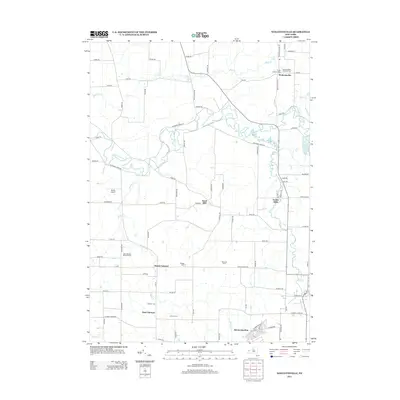
2013 Map of Wolcottsville
USGS Topo · Published 2013About this map
Tonawanda Creek meanders across this landscape in a complex series of oxbows and bends, defining the drainage patterns for several small communities in Erie County. The settlement of Wolcottsville sits near the northern boundary, anchored by the Trinity Lutheran Cem and Saint Michaels Lutheran Cem. To the south, agricultural tracts like Wideman Farms and Anchor Farms separate the crossroads at Hunts Corners from the residential expansion near East Clarence.
Find a feature on this map
87 named features on this map. Tap any name to fly to it.
Don’t see what you’re looking for? This feature index may not catch every label — zoom into the map to look around manually.
Map Details
Editions of this 2013 Wolcottsville Map
This is the sole edition of this map. No revisions or reprints were ever made.
Other maps of this area

1897 · Medina
USGS Topo · 1:62,500

1897 · Lockport
USGS Topo · 1:62,500

1899 · Niagara
USGS Topo · 1:125,000

1902 · Lockport
USGS Topo · 1:62,500

1905 · Attica
USGS Topo · 1:62,500

1905 · Depew
USGS Topo · 1:62,500

1905 · Lockport
USGS Topo · 1:62,500

1948 · Depew
USGS Topo · 1:62,500

1948 · Lockport
USGS Topo · 1:62,500

1949 · Attica
USGS Topo · 1:62,500