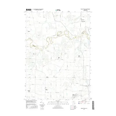
2016 Map of Wolcottsville
USGS Topo · Published 2016About this map
Tonawanda Creek winds through the heart of this landscape, marking the boundary between Niagara and Erie Counties as it flows past Rapids and the Tonawanda Creek Bridge. The area is characterized by a network of rural hamlets and small crossroad settlements, including Wolcottsville in the northeast and Swifts Mills along the banks of Murder Creek. The southern portion of the map transition into more developed areas like Clarence Center and Akron Junction, where the terrain begins to flatten away from the creek beds.
Find a feature on this map
89 named features on this map. Tap any name to fly to it.
Don’t see what you’re looking for? This feature index may not catch every label — zoom into the map to look around manually.
Map Details
Editions of this 2016 Wolcottsville Map
This is the sole edition of this map. No revisions or reprints were ever made.
Other maps of this area

1897 · Medina
USGS Topo · 1:62,500

1897 · Lockport
USGS Topo · 1:62,500

1899 · Niagara
USGS Topo · 1:125,000

1902 · Lockport
USGS Topo · 1:62,500

1905 · Attica
USGS Topo · 1:62,500

1905 · Depew
USGS Topo · 1:62,500

1905 · Lockport
USGS Topo · 1:62,500

1948 · Depew
USGS Topo · 1:62,500

1948 · Lockport
USGS Topo · 1:62,500

1949 · Attica
USGS Topo · 1:62,500