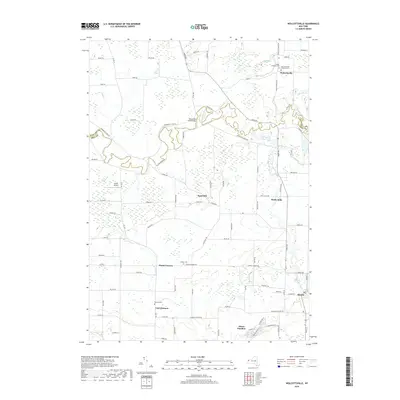
2019 Map of Wolcottsville
USGS Topo · Published 2019About this map
Wolcottsville and the winding course of Tonawanda Creek define this agricultural landscape along the border of Niagara and Erie counties. The map captures a network of rural hamlets and historic crossroads, from Swifts Mills to Hunts Corners, reflecting a late-20th-century settlement pattern that remains deeply rooted in its early Lutheran heritage. This is evident in the cluster of church-affiliated sites near the northern boundary, such as Trinity Lutheran Cem and Saint Michaels Lutheran Cem.
Find a feature on this map
97 named features on this map. Tap any name to fly to it.
Don’t see what you’re looking for? This feature index may not catch every label — zoom into the map to look around manually.
Map Details
Editions of this 2019 Wolcottsville Map
This is the sole edition of this map. No revisions or reprints were ever made.
Other maps of this area

1897 · Medina
USGS Topo · 1:62,500

1897 · Lockport
USGS Topo · 1:62,500

1899 · Niagara
USGS Topo · 1:125,000

1902 · Lockport
USGS Topo · 1:62,500

1905 · Attica
USGS Topo · 1:62,500

1905 · Depew
USGS Topo · 1:62,500

1905 · Lockport
USGS Topo · 1:62,500

1948 · Depew
USGS Topo · 1:62,500

1948 · Lockport
USGS Topo · 1:62,500

1949 · Attica
USGS Topo · 1:62,500