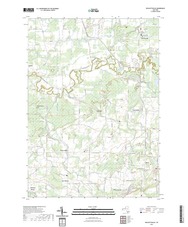
2023 Map of Wolcottsville
USGS Topo · Published 2023About this map
Tonawanda Creek meanders along the boundary between Niagara and Erie counties, defining the central drainage of this landscape. The settlement of Wolcottsville serves as a northern focal point, historically anchored by the Trinity Lutheran Cem and Saint Michaels Lutheran Cem. To the south, the village of Akron is depicted near the confluence of local transit corridors and Murder Creek, with the nearby Akron Junction indicating the area's logistical importance.
Find a feature on this map
96 named features on this map. Tap any name to fly to it.
Don’t see what you’re looking for? This feature index may not catch every label — zoom into the map to look around manually.
Map Details
Editions of this 2023 Wolcottsville Map
This is the sole edition of this map. No revisions or reprints were ever made.
Other maps of this area

1897 · Medina
USGS Topo · 1:62,500

1897 · Lockport
USGS Topo · 1:62,500

1899 · Niagara
USGS Topo · 1:125,000

1902 · Lockport
USGS Topo · 1:62,500

1905 · Attica
USGS Topo · 1:62,500

1905 · Depew
USGS Topo · 1:62,500

1905 · Lockport
USGS Topo · 1:62,500

1948 · Depew
USGS Topo · 1:62,500

1948 · Lockport
USGS Topo · 1:62,500

1949 · Attica
USGS Topo · 1:62,500