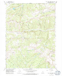
1967 Map of Wolf Creek Summit
USGS Topo · Published 1979About this map
Mill Hollow Guard Station and the neighboring Mill Hollow Granite Sch Center anchor the northern reaches of this high-elevation terrain, where the headwaters of several major drainages diverge. The landscape is defined by the Old Indian Treaty Boundary, which cuts diagonally across the ridges and hollows, separating Wasatch and Duchesne counties. Water management and conservation are evident through features like the Mill Hollow Reservoir and a localized Spring Water Tank. The drainage patterns are complex, with the Duchesne River and its West Fork carving through deep basins such as Sandstone Basin and Jimmies Basin. Steep peaks like Wolf Creek Peak and the high Wolf Creek Summit highlight the challenging topography managed by the Uinta National Forest.
Find a feature on this map
47 named features on this map. Tap any name to fly to it.
Don’t see what you’re looking for? This feature index may not catch every label — zoom into the map to look around manually.
Map Details
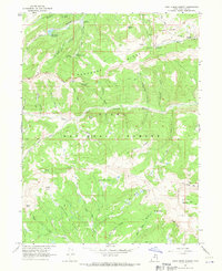
Editions of this 1967 Wolf Creek Summit Map
2 editions found
Other maps of this area

1885 · Salt Lake
USGS Topo · 1:250,000

1885 · Uinta
USGS Topo · 1:250,000

1900 · Coalville
USGS Topo · 1:125,000

1901 · Hayden Peak
USGS Topo · 1:125,000

1903 · Hayden Peak
USGS Topo · 1:125,000

1903 · Coalville
USGS Topo · 1:125,000

1907 · Strawberry Valley
USGS Topo · 1:125,000

1909 · Strawberry Valley
USGS Topo · 1:125,000

1954 · Salt Lake City
USGS Topo · 1:250,000

1958 · Salt Lake City
USGS Topo · 1:250,000