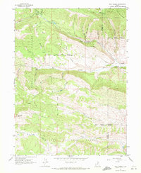
1962 Map of Wolf Creek
USGS Topo · Published 1972About this map
Ashley National Forest and Uinta National Forest converge in this high-elevation mountain terrain where the West Fork Duchesne River carves through the landscape. The survey documents a wilderness transitioning into managed resource land in the early 1960s, marked by a significant pipeline and various jeep trails that navigate the ridges and hollows. A critical piece of local administrative history is preserved in the path of the Old Indian Treaty Boundary, which cuts across the topography near Hay Hollow. The drainage network is complex, featuring prominent water bodies like Blue Lake and numerous seasonal flows such as Sand Creek and Wolf Creek. Prominent landmarks including Red Creek Mtn and Lightning Ridge define the verticality of the area, while a Gaging Station on the river indicates the ongoing hydrological monitoring of the era.
Find a feature on this map
31 named features on this map. Tap any name to fly to it.
Don’t see what you’re looking for? This feature index may not catch every label — zoom into the map to look around manually.
Map Details
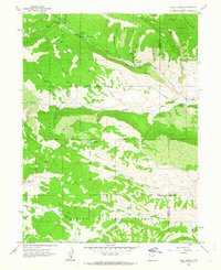
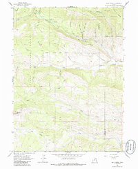
Editions of this 1962 Wolf Creek Map
3 editions found
Other maps of this area

1885 · Salt Lake
USGS Topo · 1:250,000

1885 · Uinta
USGS Topo · 1:250,000

1900 · Coalville
USGS Topo · 1:125,000

1901 · Hayden Peak
USGS Topo · 1:125,000

1903 · Hayden Peak
USGS Topo · 1:125,000

1903 · Coalville
USGS Topo · 1:125,000

1907 · Strawberry Valley
USGS Topo · 1:125,000

1909 · Strawberry Valley
USGS Topo · 1:125,000

1954 · Salt Lake City
USGS Topo · 1:250,000

1958 · Salt Lake City
USGS Topo · 1:250,000