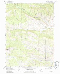
1962 Map of Wolf Creek
USGS Topo · Published 1986About this map
The Ashley National Forest and Uinta National Forest converge in this high-altitude landscape, documented during a 1962 field check. The terrain is defined by the headwaters of the West Fork Duchesne River, which flows through a deep valley between Lightning Ridge and the heights of Red Creek Mtn. Traces of earlier boundary surveys are preserved here, including the Old Indian Treaty Bdy and a formal Base Line that crosses the central wilderness.
Find a feature on this map
45 named features on this map. Tap any name to fly to it.
Don’t see what you’re looking for? This feature index may not catch every label — zoom into the map to look around manually.
Map Details
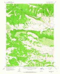
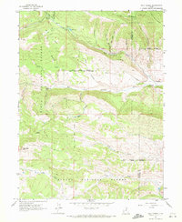
Editions of this 1962 Wolf Creek Map
3 editions found
Other maps of this area

1885 · Salt Lake
USGS Topo · 1:250,000

1885 · Uinta
USGS Topo · 1:250,000

1900 · Coalville
USGS Topo · 1:125,000

1901 · Hayden Peak
USGS Topo · 1:125,000

1903 · Hayden Peak
USGS Topo · 1:125,000

1903 · Coalville
USGS Topo · 1:125,000

1907 · Strawberry Valley
USGS Topo · 1:125,000

1909 · Strawberry Valley
USGS Topo · 1:125,000

1954 · Salt Lake City
USGS Topo · 1:250,000

1958 · Salt Lake City
USGS Topo · 1:250,000