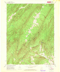
1966 Map of Wolf Gap
USGS Topo · Published 1968About this map
Liberty Furnace and Columbia Furnace anchor the southern reaches of this mid-1960s survey, marking a landscape defined by the remnants of the region's iron industry. Positioned along the border of Hardy County, West Virginia, and Shenandoah County, Virginia, the terrain is dominated by the high ridges of Great North Mountain and the deep drainage of Stony Creek. The map documents a transition from industrial history to mid-century recreation, featuring the Wolf Gap Recreation Area and the high-elevation Trout Pond within the George Washington National Forest. Evidence of earlier transport persists through the Old Railroad Grade and the Old Grade Road snaking through the gaps. Local community life is visible at Mt Vernon Ch and Bethlehem Ch, while the heights of Big Schloss and Tibbet Knob provide distinctive landmarks for those tracing the borderlands of the Virginias.
Find a feature on this map
61 named features on this map. Tap any name to fly to it.
Don’t see what you’re looking for? This feature index may not catch every label — zoom into the map to look around manually.
Map Details
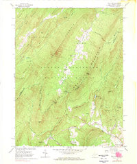
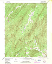
Editions of this 1966 Wolf Gap Map
3 editions found
Other maps of this area

1891 · Romney
USGS Topo · 1:125,000

1892 · Woodstock
USGS Topo · 1:125,000

1920 · Moorefield
USGS Topo · 1:62,500

1921 · Orkney Springs
USGS Topo · 1:48,000

1921 · Moorefield
USGS Topo · 1:48,000

1922 · Moorefield
USGS Topo · 1:62,500

1922 · Wardensville
USGS Topo · 1:62,500

1923 · Orkney Springs
USGS Topo · 1:62,500

1923 · Edinburg
USGS Topo · 1:62,500

1924 · Wardensville
USGS Topo · 1:62,500