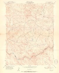
1950 Map of Wolf
USGS Topo · Published 1950About this map
The Camp Beale Military Reservation dominates the western half of this landscape, established during World War II and captured here shortly after the conflict. The terrain is defined by the Bear River as it forms the southern boundary between Nevada and Placer counties, winding past the historical Cranston Ranch. In the central hills, small-scale settlement and rural infrastructure are evident at the Wolf PO and the Banner Grange, while local industry is represented by the Pine Hill Mine.
Find a feature on this map
34 named features on this map. Tap any name to fly to it.
Don’t see what you’re looking for? This feature index may not catch every label — zoom into the map to look around manually.
Map Details
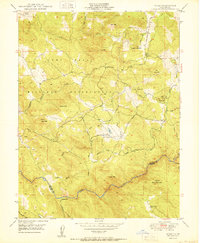
Editions of this 1950 Wolf Map
2 editions found
Other maps of this area

1888 · Smartsville
USGS Topo · 1:125,000

1891 · Sacramento
USGS Topo · 1:125,000

1891 · Smartsville
USGS Topo · 1:125,000

1892 · Sacramento
USGS Topo · 1:125,000

1892 · Smartsville
USGS Topo · 1:125,000

1893 · Sacramento
USGS Topo · 1:125,000

1894 · Smartsville
USGS Topo · 1:125,000

1895 · Smartsville
USGS Topo · 1:125,000

1910 · Lincoln
USGS Topo · 1:31,680

1915 · Spenceville
USGS Topo · 1:31,680