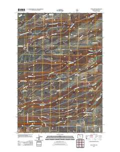
2011 Map of Wolf Run
USGS Topo · Published 2011About this map
Pleasant Ridge and Mount Hood Flat dominate this section of Wasco County, illustrating a landscape defined by its complex drainage network and agricultural infrastructure. The territory is carved by numerous eastward-flowing waterways, including Fifteenmile Creek, Ramsey Creek, and Eightmile Creek, which are supported by man-made water management features like the Orchard Ridge Ditch and Wolf Run Ditch. This reliance on controlled irrigation is further anchored by the Dufur City Reservoir in the southern portion of the map.
Find a feature on this map
46 named features on this map. Tap any name to fly to it.
Don’t see what you’re looking for? This feature index may not catch every label — zoom into the map to look around manually.
Map Details
Editions of this 2011 Wolf Run Map
This is the sole edition of this map. No revisions or reprints were ever made.
Other maps of this area

1930 · Dufur
USGS Topo · 1:125,000

1934 · Dufur
USGS Topo · 1:125,000

1934 · The Dalles
USGS Topo · 1:125,000

1953 · The Dalles
USGS Topo · 1:250,000

1956 · The Dalles
USGS Topo · 1:250,000

1957 · The Dalles
USGS Topo · 1:250,000

1957 · The Dalles
USGS Topo · 1:62,500

1957 · White Salmon
USGS Topo · 1:62,500

1962 · Wolf Run
USGS Topo · 1:24,000

1962 · Postage Stamp Butte
USGS Topo · 1:24,000