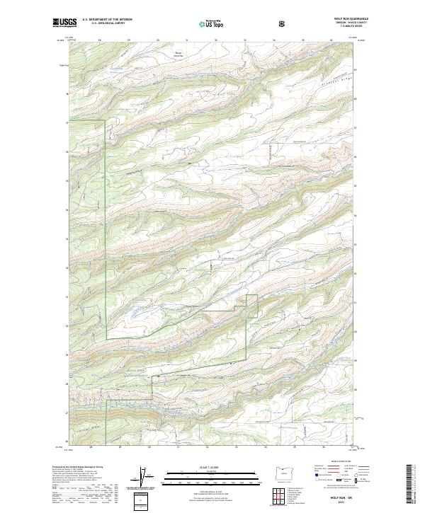
2023 Map of Wolf Run
USGS Topo · Published 2023About this map
Mount Hood National Forest anchors the southwestern portion of this landscape, where the protected waters of the Fifteenmile Creek Wild and Scenic River descend through the high country. The terrain is defined by a series of dramatic geographic depressions and ridges, including the aptly named Japanese Hollow, Rail Hollow, and Hesslan Canyon. This area in Wasco County demonstrates a complex water management history through features like the Wolf Run Ditch, Orchard Ridge Ditch, and the Dufur City Reservoir.
Find a feature on this map
56 named features on this map. Tap any name to fly to it.
Don’t see what you’re looking for? This feature index may not catch every label — zoom into the map to look around manually.
Map Details
Editions of this 2023 Wolf Run Map
This is the sole edition of this map. No revisions or reprints were ever made.
Other maps of this area

1930 · Dufur
USGS Topo · 1:125,000

1934 · Dufur
USGS Topo · 1:125,000

1934 · The Dalles
USGS Topo · 1:125,000

1953 · The Dalles
USGS Topo · 1:250,000

1956 · The Dalles
USGS Topo · 1:250,000

1957 · The Dalles
USGS Topo · 1:250,000

1957 · The Dalles
USGS Topo · 1:62,500

1957 · White Salmon
USGS Topo · 1:62,500

1962 · Wolf Run
USGS Topo · 1:24,000

1962 · Postage Stamp Butte
USGS Topo · 1:24,000