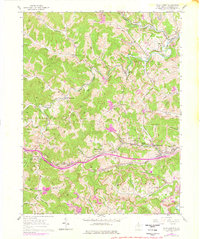
1960 Map of Wolf Summit
USGS Topo · Published 1978About this map
The Baltimore and Ohio railroad corridor serves as the industrial backbone of Harrison County, connecting the coal-rich valleys between Wolf Summit and Wilsonburg. This mid-century landscape is defined by its deep extraction history, where numerous Strip Mines and shafts pockmark the hillsides overlooking Tenmile Creek and Isaac Creek. Local community life is anchored by family-named landmarks and rural institutions, from the Olive Branch Ch and Laurel Run Sch to the prominent County Infirmary. The terrain is deeply dissected by a dense network of runs, including Rockcamp Run and Katy Lick, which dictate the winding paths of the region's early roads. The mapping of purple photo-revisions suggests a post-war transition, highlighting new developments like the Tenmile Community Center and the Sunnycroft Golf Course alongside the established agricultural and mining operations.
Find a feature on this map
69 named features on this map. Tap any name to fly to it.
Don’t see what you’re looking for? This feature index may not catch every label — zoom into the map to look around manually.
Map Details
Editions of this 1960 Wolf Summit Map
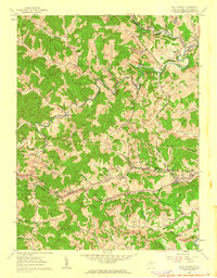
2 editions found
Other maps of this area

1902 · Clarksburg
USGS Topo · 1:62,500

1904 · Weston
USGS Topo · 1:62,500

1904 · Vadis
USGS Topo · 1:62,500

1905 · Centerpoint
USGS Topo · 1:62,500

1910 · Clarksburg
USGS Topo · 1:62,500

1923 · Clarksburg
USGS Topo · 1:62,500

1924 · Centerpoint
USGS Topo · 1:62,500

1925 · Clarksburg
USGS Topo · 1:62,500

1925 · Centerpoint
USGS Topo · 1:62,500

1925 · Vadis
USGS Topo · 1:62,500