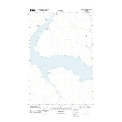
2011 Map of Wolfe Coulee
USGS Topo · Published 2011About this map
Fort Peck Lake dominates this portion of Valley County, with its intricate, branching shoreline defining the local topography. The reservoir's reach into the northern Montana breaks is marked by a series of significant drainages, including Timber Creek and Billy Creek. These watercourses have carved out numerous distinct topographical features known as coulees, which characterize the dry, high-plains landscape surrounding the lake.
Find a feature on this map
12 named features on this map. Tap any name to fly to it.
Don’t see what you’re looking for? This feature index may not catch every label — zoom into the map to look around manually.
Map Details
Editions of this 2011 Wolfe Coulee Map
This is the sole edition of this map. No revisions or reprints were ever made.
Other maps of this area

1954 · Jordan
USGS Topo · 1:250,000

1956 · Jordan
USGS Topo · 1:250,000

1958 · Jordan
USGS Topo · 1:250,000

1964 · Jordan
USGS Topo · 1:250,000

1971 · Hell Hollow
USGS Topo · 1:24,000

1971 · Wolfe Coulee
USGS Topo · 1:24,000

1971 · Wagon Coulee
USGS Topo · 1:24,000

1971 · Sawmill Creek
USGS Topo · 1:24,000

1971 · Chalk Butte
USGS Topo · 1:24,000
1971 · Swede Ridge
USGS Topo · 1:24,000