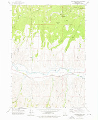
1972 Map of Wolfinger Butte
USGS Topo · Published 1976About this map
The John Day River flows through this 1972 survey, cutting a path between the northern timberlands and the southern gulches of Grant County. The landscape is defined by the transition from the Malheur National Forest in the north, where Wolfinger Butte and Little Black Butte overlook Lone Pine Basin, to the more arid, dissected terrain to the south. Water management is a central theme of the area's development, evidenced by the Yokom Reservoir and a Diversion Dam on the river, both critical for sustaining local operations in this dry environment.
Find a feature on this map
38 named features on this map. Tap any name to fly to it.
Don’t see what you’re looking for? This feature index may not catch every label — zoom into the map to look around manually.
Map Details
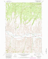
Editions of this 1972 Wolfinger Butte Map
2 editions found
Other maps of this area

1940 · Mount Vernon
USGS Topo · 1:62,500

1940 · Aldrich Mtn.
USGS Topo · 1:62,500

1943 · Aldrich Mtn.
USGS Topo · 1:62,500

1943 · Mount Vernon
USGS Topo · 1:62,500

1949 · Long Creek
USGS Topo · 1:62,500

1951 · Long Creek
USGS Topo · 1:62,500

1951 · Courtrock
USGS Topo · 1:62,500

1955 · Canyon City
USGS Topo · 1:250,000

1959 · Canyon City
USGS Topo · 1:250,000

1972 · Big Weasel Sprs
USGS Topo · 1:24,000