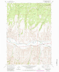
1972 Map of Wolfinger Butte
USGS Topo · Published 1984About this map
The John Day River flows through the southern heart of this Grant County landscape, providing a critical water source for the small settlement of Barnes and nearby ranching interests. Just north of the river, the Moon Cr Cem stands as a quiet marker of early pioneer history, situated near the mouth of Graveyard Gulch. The terrain is characterized by a network of steep drainages, including Waterspout Creek and Birch Creek, which descend from the high northern plateaus of the Malheur National Forest. In the higher elevations, prominent landmarks like Wolfinger Butte and Little Black Butte oversee Lone Pine Basin, where numerous springs such as Horse Spring feed the downstream creeks. The presence of the Yokom Reservoir and a Diversion Dam along the main river channel illustrates the essential role of water management in this arid reach of eastern Oregon during the early 1970s.
Find a feature on this map
80 named features on this map. Tap any name to fly to it.
Don’t see what you’re looking for? This feature index may not catch every label — zoom into the map to look around manually.
Map Details
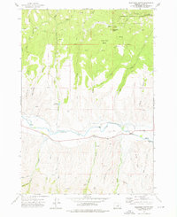
Editions of this 1972 Wolfinger Butte Map
2 editions found
Other maps of this area

1940 · Mount Vernon
USGS Topo · 1:62,500

1940 · Aldrich Mtn.
USGS Topo · 1:62,500

1943 · Aldrich Mtn.
USGS Topo · 1:62,500

1943 · Mount Vernon
USGS Topo · 1:62,500

1949 · Long Creek
USGS Topo · 1:62,500

1951 · Long Creek
USGS Topo · 1:62,500

1951 · Courtrock
USGS Topo · 1:62,500

1955 · Canyon City
USGS Topo · 1:250,000

1959 · Canyon City
USGS Topo · 1:250,000

1972 · Big Weasel Sprs
USGS Topo · 1:24,000