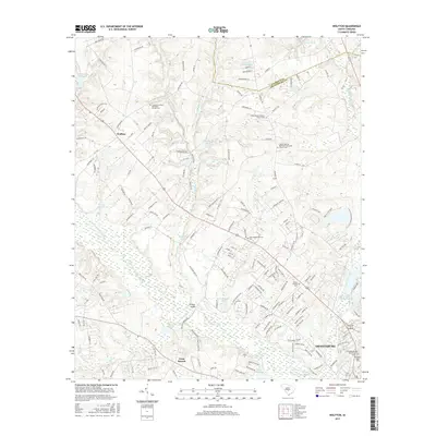
2017 Map of Wolfton
USGS Topo · Published 2017About this map
The North Fork Edisto River winds through this South Carolina landscape, defining the rural character of the region northwest of Orangeburg. The map documents a community deeply rooted in its local institutions, evidenced by a dense network of country churches and cemeteries. These include the Limestone United Methodist Church Cem, Jones Chapel Baptist Church Cem, and the Calvary African Methodist Episcopal Church Cem.
Find a feature on this map
172 named features on this map. Tap any name to fly to it.
Don’t see what you’re looking for? This feature index may not catch every label — zoom into the map to look around manually.
Map Details
Editions of this 2017 Wolfton Map
This is the sole edition of this map. No revisions or reprints were ever made.
Other maps of this area
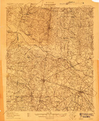
1919 · Bamberg
USGS Topo · 1:48,000
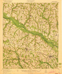
1920 · Bamberg
USGS Topo · 1:62,500
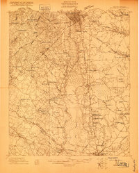
1920 · Orangeburg
USGS Topo · 1:48,000
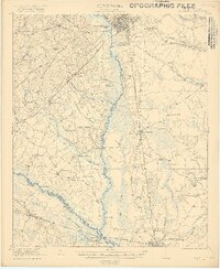
1921 · Orangeburg
USGS Topo · 1:62,500
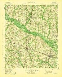
1943 · Bamberg
USGS Topo · 1:62,500
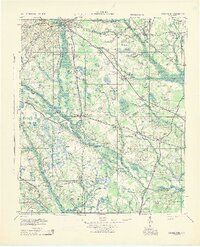
1943 · Orangeburg
USGS Topo · 1:125,000
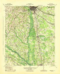
1943 · Orangeburg
USGS Topo · 1:62,500
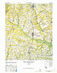
1946 · Woodford
USGS Topo · 1:62,500
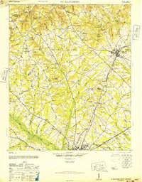
1946 · St. Matthews
USGS Topo · 1:62,500

1954 · Augusta
USGS Topo · 1:250,000