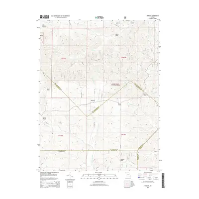
2015 Map of Womack
USGS Topo · Published 2015About this map
Womack and the adjacent Cross Roads sit at the intersection of several high-elevation drainage systems in the southeastern corner of the Saint Francois Mountains. This 2015 survey reveals how the local topography dictates the movement of water and road networks, with the Upper Castor River and Upper Whitewater Cr both originating in these hills. The landscape is a complex series of ridges and named valleys, including Sugar Camp Hollow and Opossum Hollow, many of which fall within the protected boundaries of the Mark Twain National Forest.
Find a feature on this map
42 named features on this map. Tap any name to fly to it.
Don’t see what you’re looking for? This feature index may not catch every label — zoom into the map to look around manually.
Map Details
Editions of this 2015 Womack Map
This is the sole edition of this map. No revisions or reprints were ever made.
Other maps of this area

1904 · Farmington
USGS Topo · 1:62,500

1906 · Farmington
USGS Topo · 1:62,500

1907 · Weingarten
USGS Topo · 1:62,500

1909 · Weingarten
USGS Topo · 1:62,500

1910 · Higdon
USGS Topo · 1:62,500

1939 · Fredericktown
USGS Topo · 1:48,000

1947 · Fredericktown
USGS Topo · 1:62,500

1949 · Rolla
USGS Topo · 1:250,000

1950 · Fredericktown
USGS Topo · 1:62,500

1953 · Rolla
USGS Topo · 1:250,000