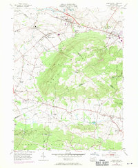
1955 Map of Womelsdorf
USGS Topo · Published 1970About this map
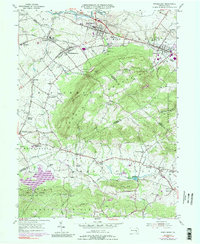
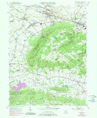
South Mountain dominates the central landscape of this Berks and Lebanon County border region, creating a rugged divide between the northern agricultural valleys and the southern Furnace Hills. The established boroughs of Womelsdorf and Robesonia anchor the northern corridor along the Reading railroad line and the Benjamin Franklin Highway, where the Bethany Orphan Home and Conrad Weiser Park reflect the area's deep-rooted community history. This mid-century survey illustrates a complex transition from traditional farming hamlets like Millbach and Newmanstown toward suburban expansion, with revisions highlighting new residential growth near Ryeland. To the south, the terrain shifts into dense woodlands and recreation areas including Game Land No 46 and the Lebanon Valley Sportsmen Club. Historical continuity is evident in the numerous country churches and schools, such as St Daniels Ch and Pleasant Retreat Sch, which served the scattered settlements of Cocalico and Blainsport along the winding Cocalico Creek.
Find a feature on this map
62 named features on this map. Tap any name to fly to it.
Don’t see what you’re looking for? This feature index may not catch every label — zoom into the map to look around manually.
Map Details
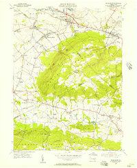
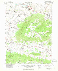
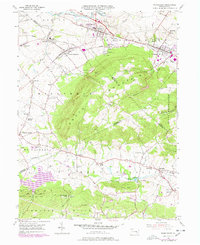
Editions of this 1955 Womelsdorf Map
6 editions found
Other maps of this area

1891 · Lebanon
USGS Topo · 1:62,500

1893 · Lebanon
USGS Topo · 1:62,500

1899 · Lebanon
USGS Topo · 1:62,500

1902 · Wernersville
USGS Topo · 1:62,500

1902 · Lancaster
USGS Topo · 1:62,500

1904 · Lancaster
USGS Topo · 1:62,500

1906 · New Holland
USGS Topo · 1:62,500

1908 · New Holland
USGS Topo · 1:62,500

1941 · New Holland
USGS Topo · 1:62,500

1943 · Lancaster
USGS Topo · 1:62,500