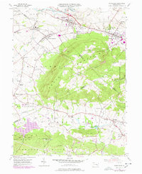
1955 Map of Womelsdorf
USGS Topo · Published 1978About this map
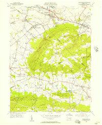
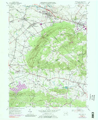
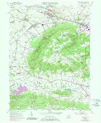
Womelsdorf and Robesonia anchor the northern reaches of this landscape, situated along the Conrail rail corridor and a major 3 Lane Highway. The central geography is dominated by the broad elevation of South Mountain, which creates a natural divide between the northern valley settlements and the rural townships to the south. This mid-century view shows a community deeply rooted in its institutions, featuring the sprawling Bethany Orphan Home near Ryeland and historical landmarks like Conrad Weiser Park.
Find a feature on this map
57 named features on this map. Tap any name to fly to it.
Don’t see what you’re looking for? This feature index may not catch every label — zoom into the map to look around manually.
Map Details
Editions of this 1955 Womelsdorf Map
6 editions found
Other maps of this area

1891 · Lebanon
USGS Topo · 1:62,500

1893 · Lebanon
USGS Topo · 1:62,500

1899 · Lebanon
USGS Topo · 1:62,500

1902 · Wernersville
USGS Topo · 1:62,500

1902 · Lancaster
USGS Topo · 1:62,500

1904 · Lancaster
USGS Topo · 1:62,500

1906 · New Holland
USGS Topo · 1:62,500

1908 · New Holland
USGS Topo · 1:62,500

1941 · New Holland
USGS Topo · 1:62,500

1943 · Lancaster
USGS Topo · 1:62,500