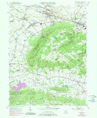
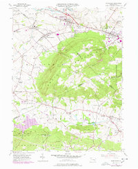
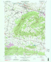
1955 Map of Womelsdorf
USGS Topo · Published 1989About this map
South Mountain and the Furnace Hills dominate this mid-century landscape where Berks, Lebanon, and Lancaster Counties converge. The industrial and transit corridor to the north is anchored by Womelsdorf, Robesonia, and Newmanstown, following the path of the Union Canal and the Conrail rail lines. The presence of the Bethany Orphan Home and Conrad Weiser Park reflects the civic and social development of the area, while smaller settlements like Kleinfeltersville and Stricklerstown dot the base of the ridges.
Find a feature on this map
67 named features on this map. Tap any name to fly to it.
Don’t see what you’re looking for? This feature index may not catch every label — zoom into the map to look around manually.
Map Details
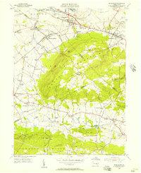
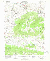
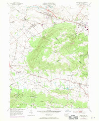
Editions of this 1955 Womelsdorf Map
6 editions found
Other maps of this area

1891 · Lebanon
USGS Topo · 1:62,500

1893 · Lebanon
USGS Topo · 1:62,500

1899 · Lebanon
USGS Topo · 1:62,500

1902 · Wernersville
USGS Topo · 1:62,500

1902 · Lancaster
USGS Topo · 1:62,500

1904 · Lancaster
USGS Topo · 1:62,500

1906 · New Holland
USGS Topo · 1:62,500

1908 · New Holland
USGS Topo · 1:62,500

1941 · New Holland
USGS Topo · 1:62,500

1943 · Lancaster
USGS Topo · 1:62,500