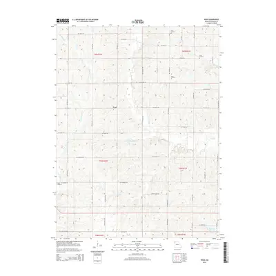
2014 Map of Wood
USGS Topo · Published 2014About this map
Wood centers this rural landscape in DeKalb County, where the terrain is defined by the winding paths of Little Third Fork and Lost Cr. The area is notably dotted with small family and community burial grounds, providing significant points of interest for genealogists tracing local lineages. These include Butler Cemetery in the north and Sharp Cemetery to the west, along with Smith Cemetery and Botts Cemetery. The presence of several managed water bodies, such as the Maysville Reservoir, Gene Carter Farm Lake, and C-75 Lake, indicates the importance of water management and irrigation in this agricultural region. The map reflects a stable, grid-based rural road system with local thoroughfares like NW Main Rd and NW Gospel Rd connecting the scattered farmsteads and historic family lands.
Find a feature on this map
38 named features on this map. Tap any name to fly to it.
Don’t see what you’re looking for? This feature index may not catch every label — zoom into the map to look around manually.
Map Details
Editions of this 2014 Wood Map
This is the sole edition of this map. No revisions or reprints were ever made.
Other maps of this area

1923 · Clarksdale
USGS Topo · 1:62,500

1923 · Maysville
USGS Topo · 1:62,500

1925 · Clarksdale
USGS Topo · 1:62,500

1925 · Stanberry
USGS Topo · 1:62,500

1925 · Maysville
USGS Topo · 1:62,500

1925 · Darlington
USGS Topo · 1:62,500

1939 · Stanberry
USGS Topo · 1:62,500

1943 · Stanberry
USGS Topo · 1:62,500

1950 · Kansas City
USGS Topo · 1:250,000

1950 · Darlington
USGS Topo · 1:62,500