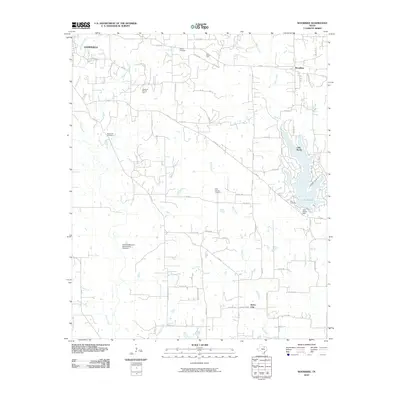
2010 Map of Woodbine
USGS Topo · Published 2010About this map
The city of Gainesville occupies the northwestern corner of this landscape, where residential development meets the watershed of Wheeler Creek and Redmond Branch. To the east, the community of Woodbine sits near the headwaters of Indian Creek, while the massive residential lake development of Lake Kiowa dominates the eastern boundary. This reservoir, held by the Lake Kiowa Dam, transformed the terrain around Wolf Creek into a waterfront community.
Find a feature on this map
65 named features on this map. Tap any name to fly to it.
Don’t see what you’re looking for? This feature index may not catch every label — zoom into the map to look around manually.
Map Details
Editions of this 2010 Woodbine Map
This is the sole edition of this map. No revisions or reprints were ever made.
Other maps of this area

1901 · Denison
USGS Topo · 1:125,000

1902 · Gainesville
USGS Topo · 1:125,000

1943 · Gainesville
USGS Topo · 1:125,000

1954 · Sherman
USGS Topo · 1:250,000

1958 · Whitesboro
USGS Topo · 1:62,500

1958 · Sherman
USGS Topo · 1:250,000

1960 · Callisburg
USGS Topo · 1:24,000

1960 · Gainesville South
USGS Topo · 1:24,000

1960 · Gainesville North
USGS Topo · 1:24,000

1960 · Woodbine
USGS Topo · 1:24,000