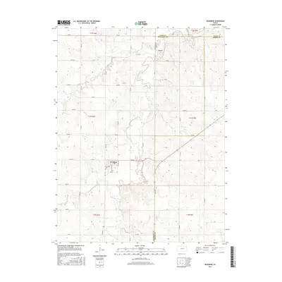
2015 Map of Woodbine
USGS Topo · Published 2015About this map
Woodbine serves as the primary hub for this rural Kansas landscape, where the street grid of Gillet Ave and E Railway Ave suggests a history tied to the movement of grain and goods. The town's local heritage is preserved at the Woodbine Cem, while to the north, the small community of Lyona remains centered around the Lyona Cem. The terrain is defined by the winding course of Lyon Creek and its tributaries, including Carry Cr and the W Br Lyon Cr, which carve through the farmland of Dickinson and Geary counties. A strict section-line road network, featuring routes like Trail Rd and Vane Rd, organizes the agricultural interior. The presence of a Po in Woodbine underscores its role as a persistent rural center amidst the surrounding draws and creeks during the early 21st century.
Find a feature on this map
44 named features on this map. Tap any name to fly to it.
Don’t see what you’re looking for? This feature index may not catch every label — zoom into the map to look around manually.
Map Details
Editions of this 2015 Woodbine Map
This is the sole edition of this map. No revisions or reprints were ever made.
Other maps of this area

1889 · Abilene
USGS Topo · 1:125,000

1889 · Parkerville
USGS Topo · 1:125,000

1894 · Abilene
USGS Topo · 1:125,000

1894 · Parkerville
USGS Topo · 1:125,000

1955 · Hutchinson
USGS Topo · 1:250,000

1959 · Hutchinson
USGS Topo · 1:250,000
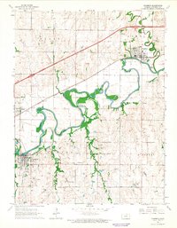
1964 · Chapman
USGS Topo · 1:24,000

1964 · Navarre
USGS Topo · 1:24,000

1964 · Skiddy
USGS Topo · 1:24,000
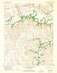
1964 · Kansas Falls
USGS Topo · 1:24,000