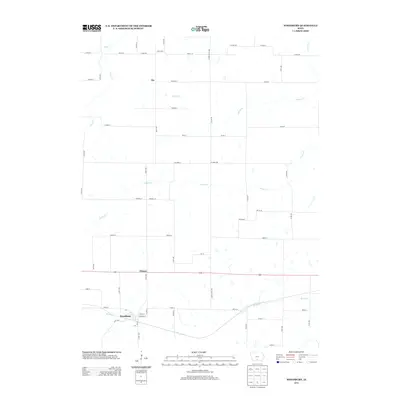
2013 Map of Woodburn
USGS Topo · Published 2013About this map
Woodburn and Ottawa anchor this rural landscape in southeastern Clarke County during the early 2010s. The area is defined by a dense network of country roads and county lines, including Co Rd-R69 and Clarke-Lucas Ave, which facilitate movement across the agricultural terrain. A complex system of waterways dissects the landscape, with S Otter Cr and Brush Cr meandering through the southern sections of the quadrangle. The map reveals the placement of small rural hubs like Jay and Ottawa along these routes, illustrating a settlement pattern deeply tied to the township and range survey system. Genealogists and local historians can trace family landholdings relative to these specific road intersections and creek beds, which have historically dictated the placement of homesteads and community centers in this part of Iowa.
Find a feature on this map
56 named features on this map. Tap any name to fly to it.
Don’t see what you’re looking for? This feature index may not catch every label — zoom into the map to look around manually.
Map Details
Editions of this 2013 Woodburn Map
This is the sole edition of this map. No revisions or reprints were ever made.
Other maps of this area

1918 · Chariton
USGS Topo · 1:62,500

1934 · Humeston
USGS Topo · 1:48,000

1937 · Corydon
USGS Topo · 1:62,500

1950 · New Virginia
USGS Topo · 1:62,500

1952 · New Virginia
USGS Topo · 1:62,500

1954 · Centerville
USGS Topo · 1:250,000

1954 · Des Moines
USGS Topo · 1:250,000

1956 · Des Moines
USGS Topo · 1:250,000

1957 · Des Moines
USGS Topo · 1:250,000

1957 · Centerville
USGS Topo · 1:250,000