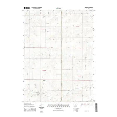
2015 Map of Woodburn
USGS Topo · Published 2015About this map
The southern Iowa prairies of Clarke and Lucas Counties are defined here by the headwaters of Otter Cr and Brush Cr, where the landscape transitions between agricultural uplands and wooded drainage systems. The small community of Woodburn serves as the local hub, supported by smaller settlements like Ottawa and the hamlet of Jay. This area reflects a deep-rooted rural history, evidenced by a high density of family and community burial grounds scattered across the townships, including Harrison Cem, Walker Cem, and Wren Hill Cem. The straight-line grid of country roads, such as Co RD h20 and Clarke-Lucas Ave, provides a framework for the dispersed farmsteads, while the winding paths of Victory Cr and Mouse Cr reveal the natural topography that dictates the placement of early homesteads and cemeteries like Saint Marys Cem.
Find a feature on this map
57 named features on this map. Tap any name to fly to it.
Don’t see what you’re looking for? This feature index may not catch every label — zoom into the map to look around manually.
Map Details
Editions of this 2015 Woodburn Map
This is the sole edition of this map. No revisions or reprints were ever made.
Other maps of this area

1918 · Chariton
USGS Topo · 1:62,500

1934 · Humeston
USGS Topo · 1:48,000

1937 · Corydon
USGS Topo · 1:62,500

1950 · New Virginia
USGS Topo · 1:62,500

1952 · New Virginia
USGS Topo · 1:62,500

1954 · Centerville
USGS Topo · 1:250,000

1954 · Des Moines
USGS Topo · 1:250,000

1956 · Des Moines
USGS Topo · 1:250,000

1957 · Des Moines
USGS Topo · 1:250,000

1957 · Centerville
USGS Topo · 1:250,000