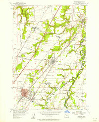
1956 Map of Woodburn
USGS Topo · Published 1958About this map
French Prairie and Elliott Prairie define the fertile agricultural landscape of northern Marion County during the mid-1950s. The map illustrates a region in transition, where the established town of Woodburn and the community of Hubbard are increasingly connected by modern infrastructure like the Baldock Freeway. The drainage of the Pudding River and Butte Creek dictates the local topography, while historic transportation routes such as the Boones Ferry Road and the Southern Pacific Railroad reflect the long-standing importance of this corridor for moving goods and people through the Willamette Valley.
Find a feature on this map
39 named features on this map. Tap any name to fly to it.
Don’t see what you’re looking for? This feature index may not catch every label — zoom into the map to look around manually.
Map Details
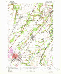
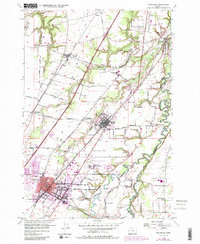
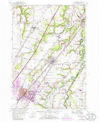
Editions of this 1956 Woodburn Map
4 editions found
Other maps of this area

1914 · Oregon City
USGS Topo · 1:62,500

1916 · Tualatin
USGS Topo · 1:62,500

1923 · Mount Angel
USGS Topo · 1:62,500

1939 · Molalla
USGS Topo · 1:62,500

1939 · Oregon City
USGS Topo · 1:62,500

1939 · Tualatin
USGS Topo · 1:62,500

1940 · Tualatin
USGS Topo · 1:62,500

1940 · Molalla
USGS Topo · 1:62,500

1940 · Mount Angel
USGS Topo · 1:62,500

1941 · Oregon City
USGS Topo · 1:62,500