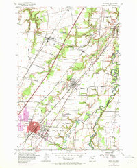
1956 Map of Woodburn
USGS Topo · Published 1971About this map
Woodburn stands as a significant regional hub in this mid-century portrait of northern Marion County, where the Southern Pacific railroad and the Baldock Freeway define the corridor of growth. The map reveals a landscape heavily shaped by mineral springs and specialized institutions, most notably the MacLaren School for Boys and the Hubbard Mineral Spring. Agricultural patterns dominate the eastern sector at Elliott Prairie, while the winding course of the Pudding River serves as a natural boundary between Marion and Clackamas counties. Small communities like Donald, Hubbard, and Fargo are interconnected by a dense network of country roads such as Boones Ferry Road and Gervais-Oregon Electric Road. The inclusion of several historic burial grounds, including St Lukes Cemetery and Old Colony Cem, provides vital points of reference for local genealogists studying this fertile valley during its transition toward modern infrastructure.
Find a feature on this map
49 named features on this map. Tap any name to fly to it.
Don’t see what you’re looking for? This feature index may not catch every label — zoom into the map to look around manually.
Map Details
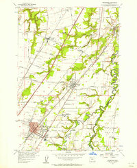
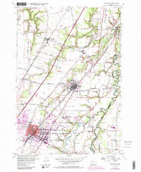
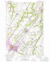
Editions of this 1956 Woodburn Map
4 editions found
Other maps of this area

1914 · Oregon City
USGS Topo · 1:62,500

1916 · Tualatin
USGS Topo · 1:62,500

1923 · Mount Angel
USGS Topo · 1:62,500

1939 · Molalla
USGS Topo · 1:62,500

1939 · Oregon City
USGS Topo · 1:62,500

1939 · Tualatin
USGS Topo · 1:62,500

1940 · Tualatin
USGS Topo · 1:62,500

1940 · Molalla
USGS Topo · 1:62,500

1940 · Mount Angel
USGS Topo · 1:62,500

1941 · Oregon City
USGS Topo · 1:62,500