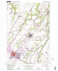
1956 Map of Woodburn
USGS Topo · Published 1985About this map
Woodburn and its surrounding agricultural landscape are defined by the convergence of major transportation corridors in the mid-1950s. The Southern Pacific and Oregon Electric railroads run roughly parallel through the valley, anchoring settlements like Donald, Hubbard, and Aurora. This period shows the early influence of the Baldock Freeway as it cuts through the farmland, signaling a shift in regional connectivity.
Find a feature on this map
37 named features on this map. Tap any name to fly to it.
Don’t see what you’re looking for? This feature index may not catch every label — zoom into the map to look around manually.
Map Details
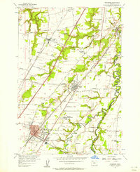
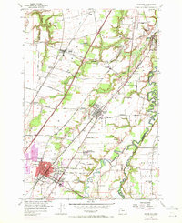
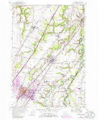
Editions of this 1956 Woodburn Map
4 editions found
Other maps of this area

1914 · Oregon City
USGS Topo · 1:62,500

1916 · Tualatin
USGS Topo · 1:62,500

1923 · Mount Angel
USGS Topo · 1:62,500

1939 · Molalla
USGS Topo · 1:62,500

1939 · Oregon City
USGS Topo · 1:62,500

1939 · Tualatin
USGS Topo · 1:62,500

1940 · Tualatin
USGS Topo · 1:62,500

1940 · Molalla
USGS Topo · 1:62,500

1940 · Mount Angel
USGS Topo · 1:62,500

1941 · Oregon City
USGS Topo · 1:62,500