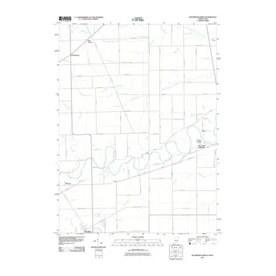
2010 Map of Woodburn North
USGS Topo · Published 2010About this map
The Maumee River snakes through the heart of this borderland landscape, defining the transition between Indiana and Ohio. Centered on State Line Rd, this map documents the agricultural and residential development patterns of the early 21st century. The settlement of Woodburn anchors the southwestern corner, while smaller clusters like Bluecast and Georgetown are scattered along the rural road network. Local heritage is preserved at sites such as Diehl Cemetery and Banks Cemetery, which sit near the river's winding banks.
Find a feature on this map
67 named features on this map. Tap any name to fly to it.
Don’t see what you’re looking for? This feature index may not catch every label — zoom into the map to look around manually.
Map Details
Editions of this 2010 Woodburn North Map
This is the sole edition of this map. No revisions or reprints were ever made.
Other maps of this area

1914 · Bryan
USGS Topo · 1:62,500

1914 · Paulding
USGS Topo · 1:62,500

1943 · Bryan
USGS Topo · 1:62,500

1944 · Paulding
USGS Topo · 1:62,500

1953 · Fort Wayne
USGS Topo · 1:250,000

1956 · Fort Wayne
USGS Topo · 1:250,000

1957 · Maples
USGS Topo · 1:24,000

1958 · Hicksville
USGS Topo · 1:24,000

1958 · Grabill
USGS Topo · 1:24,000

1958 · Woodburn North
USGS Topo · 1:24,000