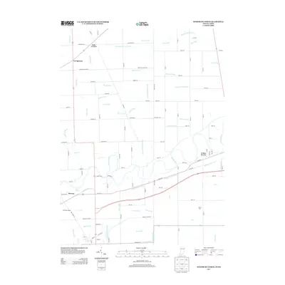
2013 Map of Woodburn North
USGS Topo · Published 2013About this map
The Maumee River winds through this landscape on the Indiana-Ohio border, shadowed by the historic path of the Wabash and Erie Canal. This 2013 survey illustrates a region defined by complex drainage systems and small rural clusters. Small communities like Georgetown and Halls Corners anchor the northwest, while Bluecast sits near the notable Bluecast Spring along the river's southern bank. The terrain is heavily modified by an extensive network of artificial waterways, including the Hamm Interceptor Ditch and Edgerton-Carson Ditch, which support the agricultural economy of the area.
Find a feature on this map
89 named features on this map. Tap any name to fly to it.
Don’t see what you’re looking for? This feature index may not catch every label — zoom into the map to look around manually.
Map Details
Editions of this 2013 Woodburn North Map
This is the sole edition of this map. No revisions or reprints were ever made.
Other maps of this area

1914 · Bryan
USGS Topo · 1:62,500

1914 · Paulding
USGS Topo · 1:62,500

1943 · Bryan
USGS Topo · 1:62,500

1944 · Paulding
USGS Topo · 1:62,500

1953 · Fort Wayne
USGS Topo · 1:250,000

1956 · Fort Wayne
USGS Topo · 1:250,000

1957 · Maples
USGS Topo · 1:24,000

1958 · Hicksville
USGS Topo · 1:24,000

1958 · Grabill
USGS Topo · 1:24,000

1958 · Woodburn North
USGS Topo · 1:24,000