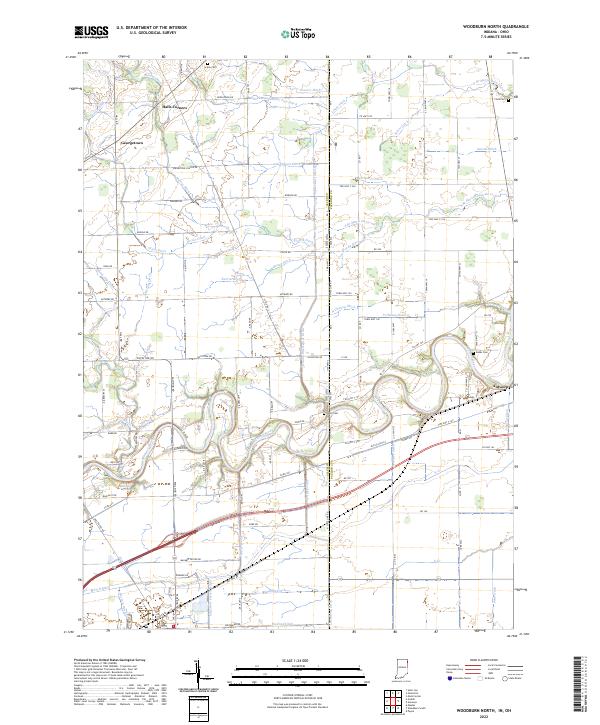
2022 Map of Woodburn North
USGS Topo · Published 2022About this map
The Maumee River winds across this borderland landscape where Allen County, Indiana meets Paulding County, Ohio. This 2022 survey documents a complex network of agricultural drainage, featuring named waterways like Hamm Interceptor Ditch, Zuber Ditch, and Sowers Ditch that define the local topography. Along the eastern edge, the village of Antwerp sits near the river's bend, while the small settlements of Halls Corners and Georgetown anchor the northwestern reaches. Local genealogy is well-represented through several rural burial grounds, including Scipio Cem and Diehl Cem. The presence of Bluecast Spring and the distinctive N State Line Rd illustrate the intersection of natural hydrology and political boundaries, providing a clear view of how land use and transit, such as Old US Hwy 24, have adapted to the river's path.
Find a feature on this map
110 named features on this map. Tap any name to fly to it.
Don’t see what you’re looking for? This feature index may not catch every label — zoom into the map to look around manually.
Map Details
Editions of this 2022 Woodburn North Map
This is the sole edition of this map. No revisions or reprints were ever made.
Other maps of this area

1914 · Bryan
USGS Topo · 1:62,500

1914 · Paulding
USGS Topo · 1:62,500

1943 · Bryan
USGS Topo · 1:62,500

1944 · Paulding
USGS Topo · 1:62,500

1953 · Fort Wayne
USGS Topo · 1:250,000

1956 · Fort Wayne
USGS Topo · 1:250,000

1957 · Maples
USGS Topo · 1:24,000

1958 · Hicksville
USGS Topo · 1:24,000

1958 · Grabill
USGS Topo · 1:24,000

1958 · Woodburn North
USGS Topo · 1:24,000